Blog Article
Tornado Watch Trends as CFB Week 1 Meets Severe Storms
A real SPC Enhanced Risk over Buffalo and Central NY explains tonight's trending tornado watch searches, plus Hurricane Lowell nears Cat 5 south of Hawaii.

Why "Tornado Watch" Is Trending on the Same Night College Football Kicks Off
Get this, y'all. "Tornado watch" is sitting at 5,000-plus searches tonight, and for once the internet isn't overreacting. That search spike is coming out of Central New York, and it's tied directly to a real bulletin sitting on my desk right now. The Storm Prediction Center has an Enhanced Risk of severe thunderstorms painted over Buffalo, Rochester, Syracuse, Erie, and Watertown tonight into early Thursday morning. That's about 3.7 million people under the highest severe weather category on the map today.
This isn't a drill and it isn't hype. It's the real deal, and it's happening the same week college football fully opens its season across a stretch of states already dealing with active weather. Let's talk about both.
The Setup Behind the Enhanced Risk
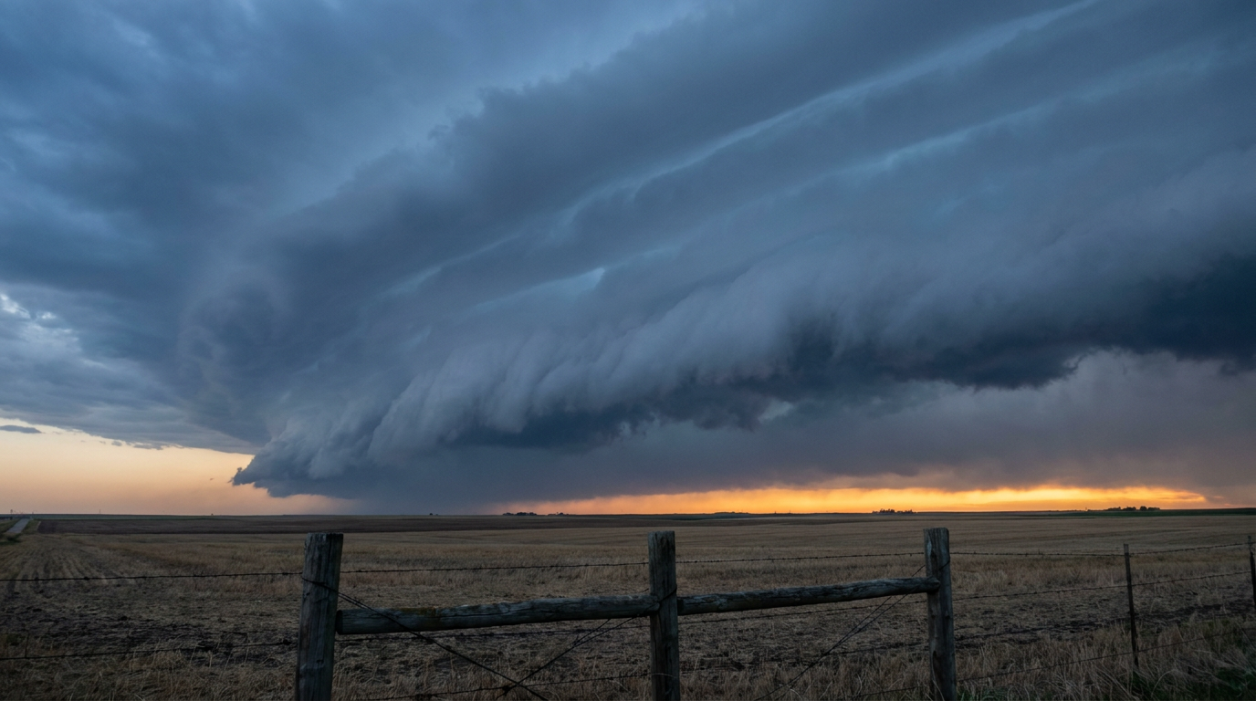
Here's the thing about tonight's storms in western and central New York: wind is the headline, not tornadoes. SPC has damaging wind gusts pegged at a 45 percent probability, their highest tier, with a hatched zone inside that where gusts could reach 75 mph or better. That's roofing-shingle, tree-limb, power-line kind of wind. There's also a 5 percent tornado probability with some potential for an EF2 or stronger if one does spin up, so it's not zero, but wind damage is the main act here.
The discussion from Norman calls for scattered to numerous severe storms from the Great Lakes down into the Mid-Atlantic through tonight. If you're in that Buffalo-Rochester-Syracuse corridor, this is a real watch-the-sky, know-where-your-shelter-is kind of evening.
Worth a nod to history without overselling it: New York has seen real damaging-wind disasters before, like the September 7, 1998 Labor Day derecho. That event and tonight's setup share a state, not necessarily a matching atmosphere. The forcing, shear, and instability are their own thing this time. Same goes for September tornado climatology in New York, which averages less than two reports a year statewide. Tonight's threat is a real, live Enhanced Risk, not a repeat of anything specific, so treat it on its own terms.
Thursday brings a second round, though a notch down. SPC has a Slight Risk stretching from the Upper Midwest through the Mid-Atlantic, with Minneapolis, Columbus, Washington DC, and Baltimore in the footprint. Wind and large hail, up to 2 inches in spots, are the main concerns there, with a lower-end tornado chance riding along.
Kickoff Week Meets an Active Weather Week
College football's opening slate is spread across exactly the kind of geography that's active right now. Buffalo hosts UAlbany Thursday night, right inside tonight's Enhanced Risk footprint, though kickoff falls after the worst of the overnight severe threat should have cleared through. Minnesota hosts Eastern Illinois Thursday evening in Minneapolis, which sits inside Thursday's Slight Risk zone, so that's one to watch if you've got tailgate plans. Illinois-UAB in Champaign and Rutgers-Massachusetts in Piscataway are both on the edge of lower-end Marginal risk zones, nothing dramatic, just worth a radar check before first pitch.
Meanwhile, the Southeast slate, Wake Forest hosting Akron, Georgia Tech hosting Colorado, Kennesaw State hosting West Georgia, and UCF hosting Bethune-Cookman, is looking at a quieter, more typical early-September pattern. Atlanta's average high this time of year is 83, Raleigh sits at 82, so expect standard late-summer warmth and humidity for tailgating, not a washout.

Two Other Stories Worth Your Attention
While Central New York deals with tonight's storms, there's a genuinely big story spinning quietly in the Central Pacific. Hurricane Lowell rapidly intensified into a Category 5 with 161 mph winds today, sitting about 445 miles south-southeast of Hilo and expected to stay a major hurricane for several days. There's no landfall forecast on Hawaii right now, but our impact model has several Big Island communities, Kona Coast, Hilo, and both the south and west sides of Hawaii Island, at a "prepare" threat level. That's mostly about life-threatening surf, rip currents, and swell timing rather than a direct hit, but if you're anywhere near those beaches this week, take it seriously.
And don't forget East Texas. Just three days after Tropical Storm Edouard came ashore near Sabine Pass with 90 mph gusts and flooded streets in Beaumont, its remnant circulation is still wringing out rain. WPC has a Moderate Risk of excessive rainfall for eastern Texas through Thursday morning as another round of training storms moves through south and southeast of the weakening low. It won't be as extreme as Tuesday night's flooding, but it's not over yet either.
The Takeaway
Three different hazards, three different regions, all active on the same night. A real Enhanced Risk is driving that trending search in Central New York, a Category 5 hurricane is churning south of Hawaii, and East Texas is still drying out from Edouard. If you've got a game to watch this week, whether it's in Buffalo or Minneapolis or Piscataway, check the forecast one more time before you load the cooler. This is one of those weeks where the weather map has more going on than the schedule does.