Blog Article
Friday Severe Weather Threat: Tornadoes and Hard Freeze
A massive cold front brings an Enhanced Risk of severe storms, tornadoes, and a hard freeze to the Midwest and Plains this Friday. Check your weekend plans.
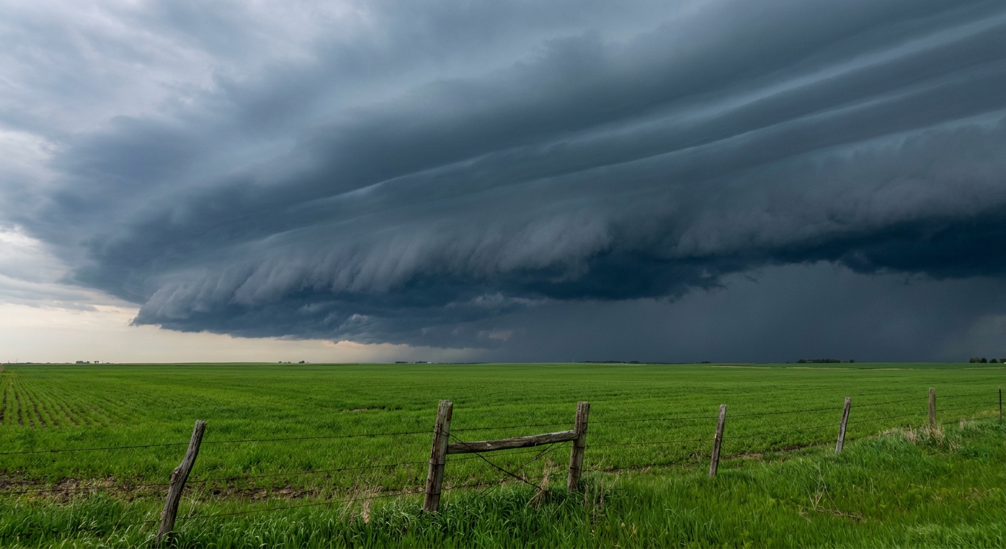
Why Your Friday Night Plans Need a Backup Option
Y'all know the feeling. You buy tickets to a spring festival weeks in advance. You check the calendar, see mid-April, and assume the weather will be perfect. The folks setting up the FoodieLand festival in Dallas right now are probably having that exact thought. The Mets and Cubs are prepping for a Friday night game in Chicago. But spring in the central United States does not care about our weekend plans.
We have a classic, highly volatile mid-April setup moving through on Friday. It is bringing everything from a significant tornado threat to a hard freeze.
The Friday Severe Threat
Tomorrow brings an Enhanced Risk of severe thunderstorms. That is a level 3 out of 5 on the severe weather scale. The target area stretches from Wisconsin all the way southwest into Oklahoma. If you live in Kansas City, Wichita, Madison, or Des Moines, you need to pay close attention to the sky tomorrow afternoon and evening.
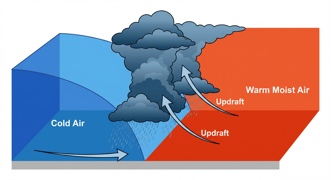
A deepening surface low and a strong cold front are going to trigger widespread storms. We are looking at a 10 percent probability for tornadoes, and the data shows the potential for strong tornadoes specifically around Iowa, southern Wisconsin, and northern Illinois. Very large hail and destructive wind gusts are also a major concern. As the evening goes on, these discrete storms will likely consolidate into a massive squall line.
That line of storms brings heavy rainfall. The Weather Prediction Center has a Slight Risk for excessive rainfall from the Mid-Mississippi Valley down into the Southern Plains. Soils in places like Wisconsin and Illinois are already saturated from earlier this week.
Fire and Ice in the Plains
Down south, the story is completely different ahead of the front. The Southern High Plains are bone dry and windy. We have Critical Fire Weather areas highlighted for places like Lubbock, Amarillo, and Las Cruces. Any spark in that dry, well-mixed boundary layer could turn into a fast-moving wildfire.
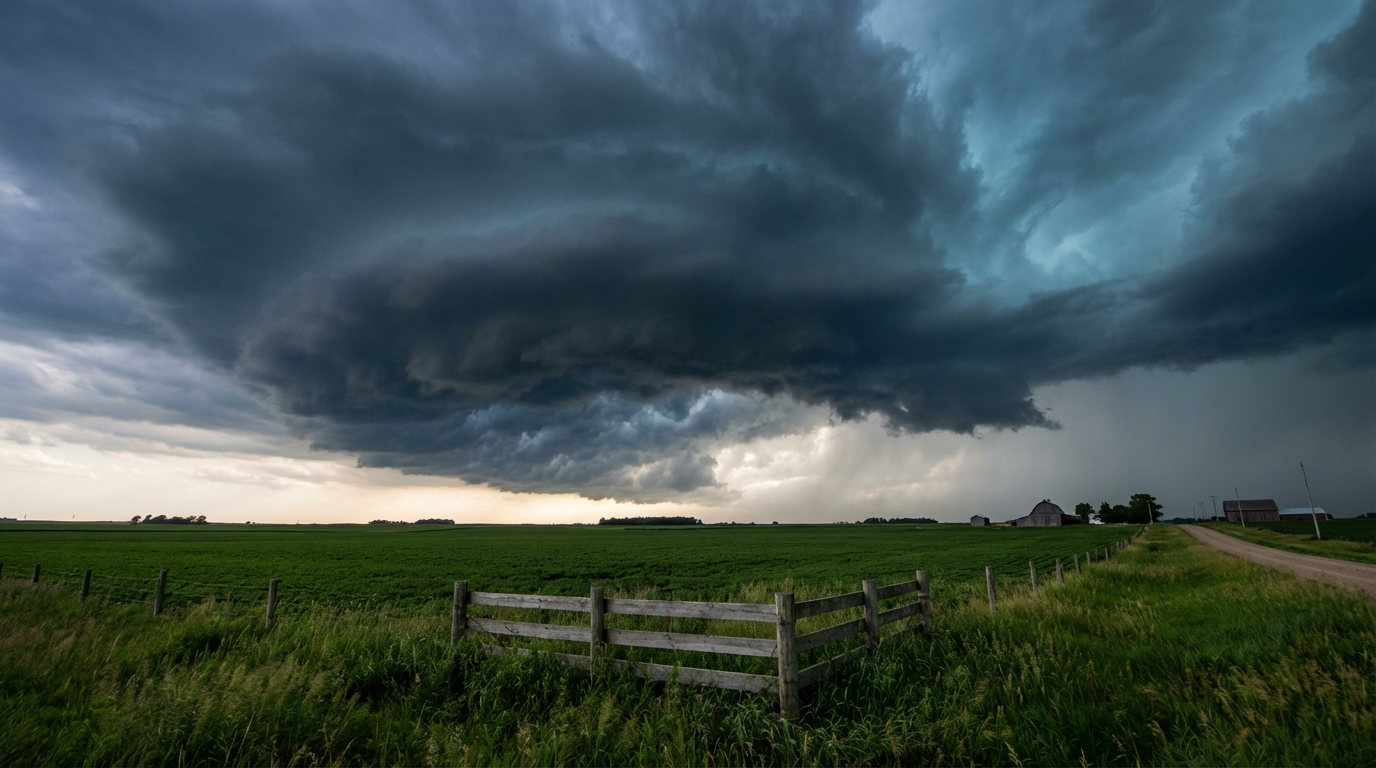
Then the front passes, and the bottom drops out of the thermometer.
We are talking about a hard freeze chasing right behind these storms. The average high in Dallas this time of year is 77 degrees. Chicago normally sits near 59 degrees. This front is going to pull temperatures down so fast it will give you whiplash. The false spring memes are going to be everywhere by Saturday morning as folks in the Plains wake up to temperatures in the teens and twenties.
Here is the reality for Friday. If you have tickets to an outdoor event, figure out your shelter options now. Keep your phone charged and make sure your weather alerts are turned on loud enough to wake you up.
https://ryanhallyall.com/blog/why-your-friday-night-plans-need-a-backup-option