Blog Article
Northeast Severe Weather: Governors Ball Wind Threat
A severe weather threat brings 75 mph wind gusts to the Northeast this Saturday. Learn how this impacts the Governors Ball and other outdoor weekend events.
Wind, Stages, and Soundchecks: What the Northeast Storm Threat Means for Your Weekend
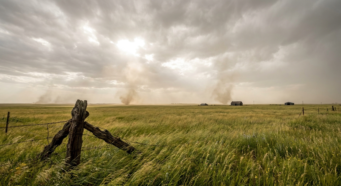
Get this, y'all. The Governors Ball is taking over Queens this weekend. Hundreds of thousands of folks are heading out for live music. Meanwhile, upstate New York is buzzing about the Belmont Stakes. It is a massive weekend for outdoor events in the Northeast.
But we have a weather situation brewing for Saturday that could crash the party.
The Storm Prediction Center has outlined a Slight Risk for severe storms across the Ohio Valley into the Northeast tomorrow. That includes New York City, Philadelphia, and Pittsburgh. The main hazard here is wind. We are looking at a 30 percent probability for numerous damaging wind gusts.
Let me explain what that means for you. A deepening surface low up in Quebec is going to pull a cold front across the region. Ahead of that front, the air is going to be hot and sticky. New York City usually tops out around 80 degrees in June. We will have plenty of heat to fuel these storms. As they organize into linear clusters, they will push a wall of wind ahead of them.
We are talking about wind gusts of 60 mph. In the worst spots, those gusts could reach 75 mph.
If you have ever been to a music festival, you know that temporary stages and 70 mph winds are a dangerous combination. If you are heading out to Governors Ball or any outdoor setup tomorrow, you need a rock-solid exit plan. Know exactly where the nearest sturdy building is located. A pop-up tent will not protect you from flying debris.
The Northeast is not the only place dealing with serious wind tomorrow.
Trouble in the Northern Plains
Folks up in Montana and North Dakota have their own severe threat on Saturday. A deepening lee cyclone is going to trigger an organized complex of storms. The data shows a significant risk for 75 mph wind gusts in this area too. If you live in Bismarck or Minot, secure your patio furniture tonight. That wind will easily take down tree limbs and power lines.
Look Up Tonight
Before the weekend storms arrive, we have some serious action happening way above our heads.
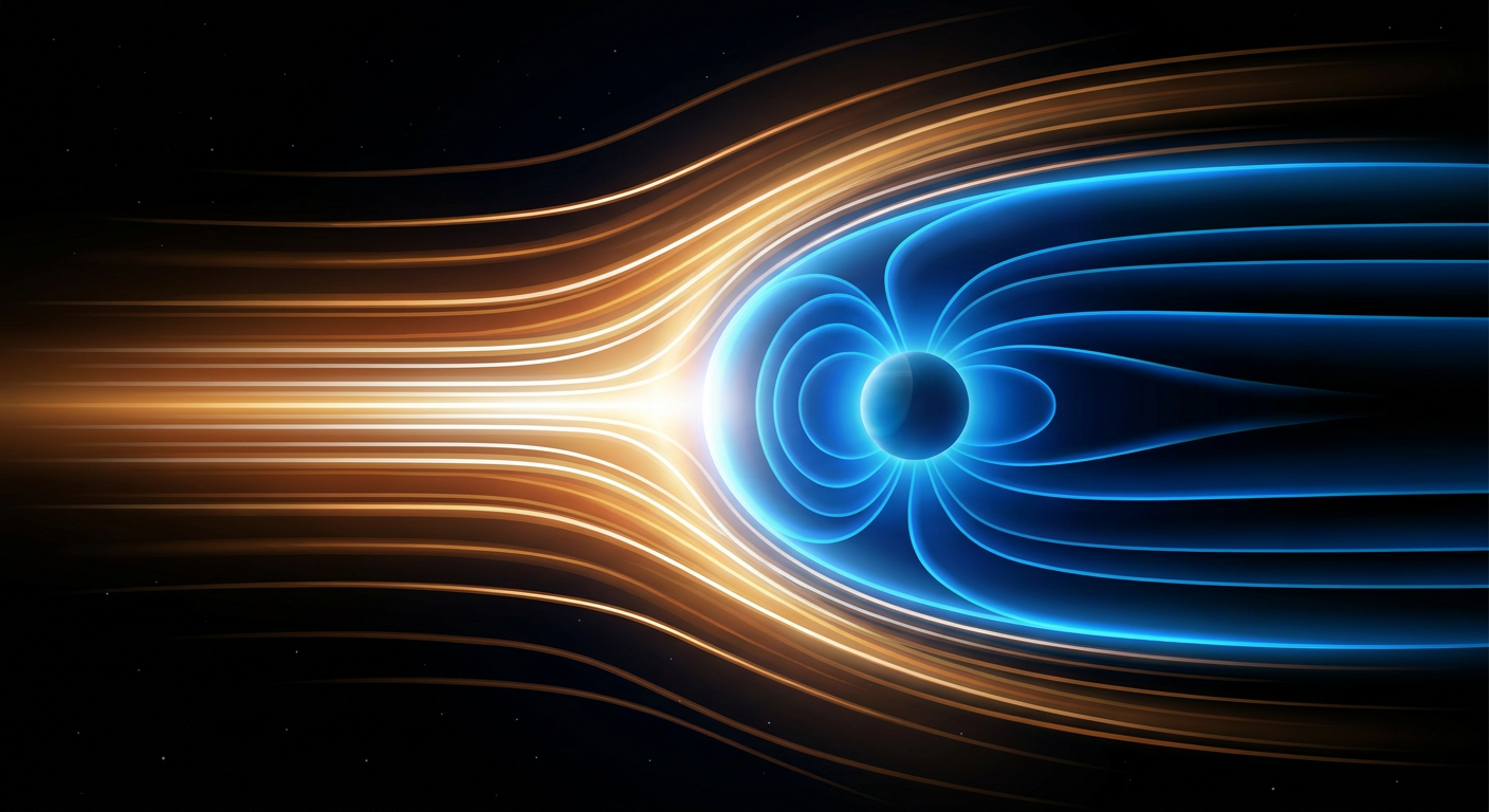
The Space Weather Prediction Center is tracking an ongoing G3 to G4 geomagnetic storm. This is the fallout from an X1 solar flare and multiple coronal mass ejections that hit our magnetic field. If you have clear skies tonight, get away from city lights and look north. You might just catch the aurora. The solar wind conditions are highly elevated right now.
Have a plan for tomorrow. If you hear thunder, you are close enough to get hit by lightning or caught in a sudden wind gust. Check the radar on your phone before you head to the festival gates.