Blog Article
World Cup Final Weather: MetLife July 19 Storm Outlook
Messi broke the World Cup scoring record and the final hits New Jersey July 19. Here's what June 2026's relentless storm pattern says about outdoor match weather.
World Cup Fever Hits Jersey: What June's Storm Pattern Means for July 19 at MetLife
Alright folks, let's talk about the thing everybody's searching for tonight. Messi broke the all-time World Cup scoring record. France is rolling. The whole planet is watching this tournament, and the final lands right in our backyard on July 19 at MetLife Stadium in East Rutherford, New Jersey.
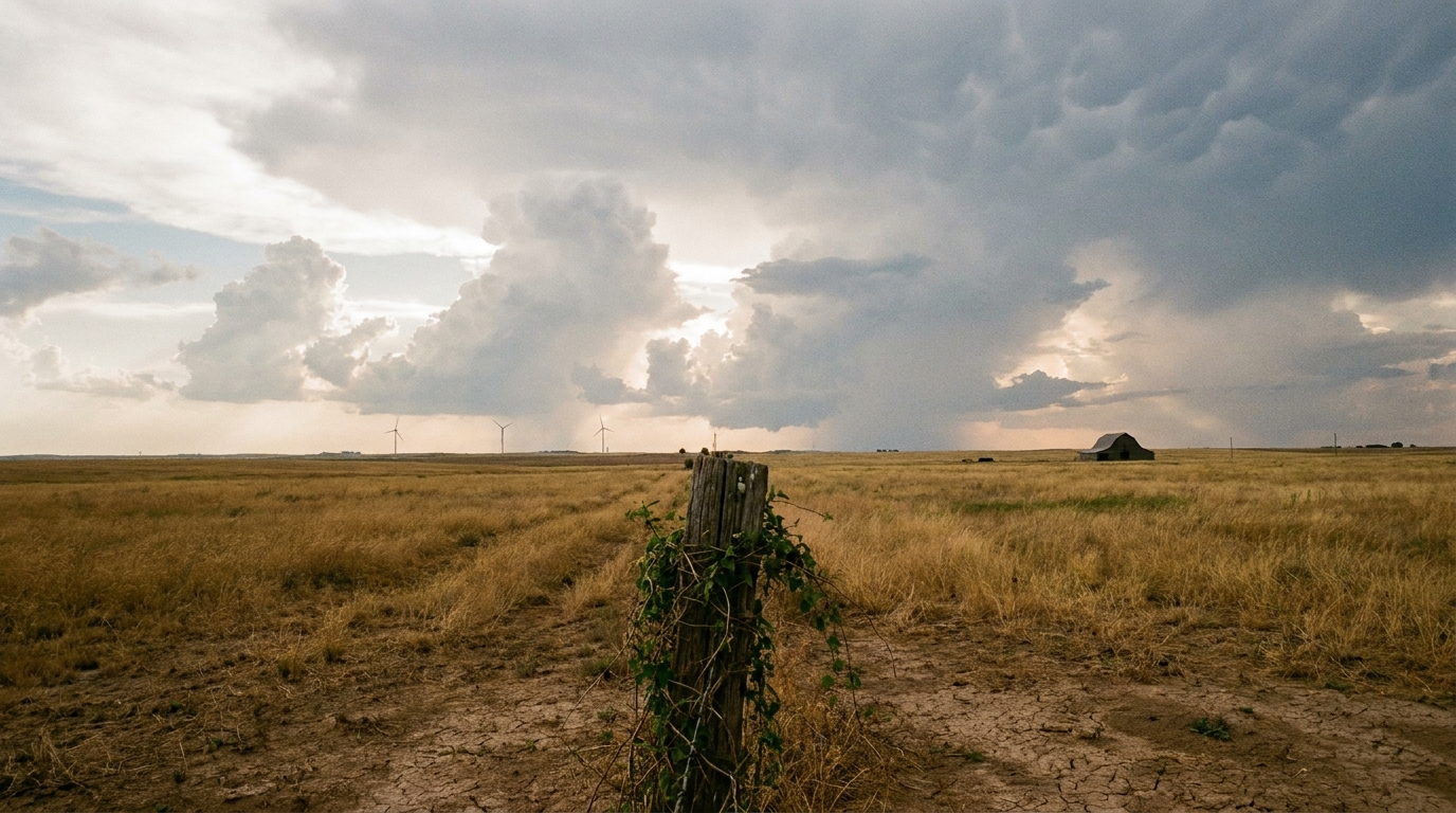
That's an outdoor stadium. No roof. Which means weather is part of the story whether anybody wants it to be or not.
Now, I can't give you a forecast for July 19. Nobody honestly can this far out, and anyone who tells you different is selling something. But I can tell you what kind of summer the atmosphere has been cooking up over the eastern two-thirds of this country, because June 2026 has been one for the record books. And that pattern matters.
The Pattern That Won't Quit
Get this. June 2026 has been an almost nonstop conveyor belt of severe weather east of the Rockies. We're talking measured wind gusts of 113 mph at Salina, Kansas on June 8. A 94 mph gust at Oshkosh, Wisconsin on June 10. Tropical Storm Arthur dumping more than two feet of rain on Louisiana mid-month. And just yesterday, a tornado outbreak across southern Illinois and Indiana that produced two PDS Tornado Warnings, the kind the Weather Service reserves for the worst situations.
The common thread? Mesoscale convective systems. MCS for short. These are big clusters of thunderstorms that organize, march downwind, and pack a punch well into the night. They've been the workhorse of this summer.
Here's why that's relevant to a soccer match a month out. When a pattern locks in like this, with a western trough and eastern ridge feeding moisture and energy into the central and eastern states, it tends to stick around longer than a single front. We've seen storm complexes reach the Mid-Atlantic repeatedly this month. The June 12 event put an 83 mph gust near Parole, Maryland on the board.
What Actually Happens At An Outdoor Stadium
Let me be straight about what weather does to a match like this. FIFA and the stadium folks plan for it. The real concern at an open-air venue in a New Jersey July is two things: lightning and heavy rain.
Lightning stops play. That's protocol, not opinion. If a storm gets within striking distance, officials clear the field and the stands until it passes. We saw that kind of thing at the 2014 World Cup and at plenty of summer events since.
Heavy rain is the other one. A slow-moving thunderstorm can drop two or three inches in an hour, and that's the type we've watched all month. The Weather Prediction Center has had Slight Risk excessive rainfall areas going up almost daily lately, including across the central and southern Plains right now.
The good news for a July match in the Northeast? Late summer there usually means pop-up afternoon and evening storms, not all-day washouts. They blow up in the heat, rumble through, and clear out. The trick is timing. A 90-minute match plus pregame is a wide window, and a single storm cell can blow through in 30 minutes.
The Heat Angle Nobody's Talking About
Here's something else worth chewing on. New York's average July high sits around 85 degrees, but humidity is the real story in the Northeast in midsummer. When the same tropical moisture that fuels these storms parks over the region, dewpoints climb into the 70s and it feels like a wet towel.
That matters for players running 90-plus minutes and for 80,000 fans packed into a stadium. FIFA already uses cooling breaks when the heat index gets high. If July 19 lands inside one of these humid, storm-prone stretches we've been seeing, expect those breaks to be in play.
What This Means For You
If you're one of the lucky ones with a ticket, or you're heading to the area for the final, here's the practical takeaway:
- Watch the forecast starting about five days out. That's when models get genuinely useful for timing afternoon and evening storms.
- Plan for a possible weather delay. Lightning protocol can pause a match. Build that into your day.
- Hydrate and respect the humidity. A Northeast July afternoon can sneak up on folks who aren't used to it.
- Have a radar app you trust. Not the kind that screams at you, just one that shows you what's coming.
And if you're watching from the couch in the South like most of us? You already know June handed us a brutal stretch of storms. The same machinery that's been firing off MCS after MCS isn't going to magically shut down by mid-July. It might shift, it might ease, but summer in America means thunderstorms, and the World Cup final is walking right into the season.
Messi made history. France looks dangerous. And the sky over New Jersey gets a vote on July 19. We'll be watching all of it.