Blog Article
World Cup Weather: Storms, Heat and the Big Weekend
World Cup fever meets storm season. How the summer weather pattern affects the Final, the All-Star Game, and outdoor watch parties across the country this weekend.
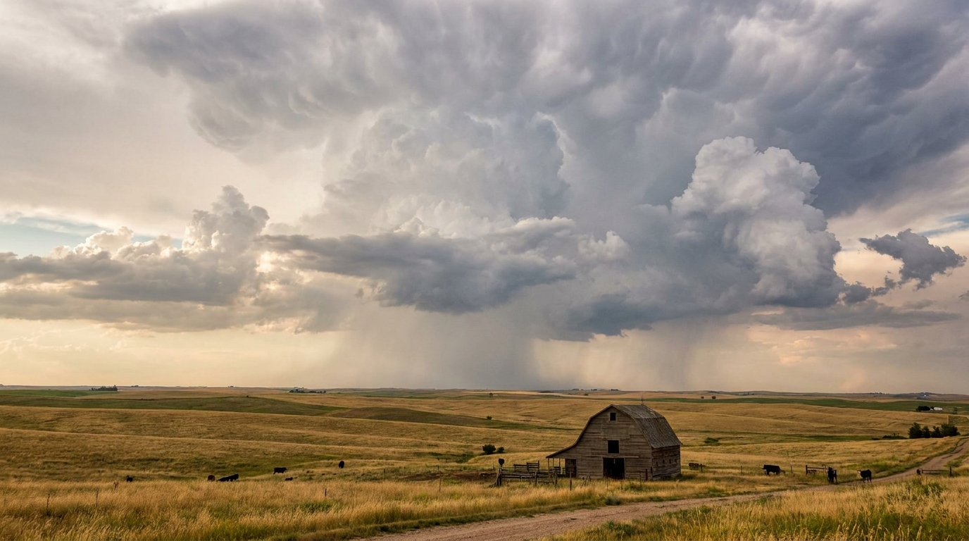
World Cup Fever Meets Storm Season: What the Weather Means for the Big Weekend
Alright y'all, let's talk about what half the country is already talking about. Jude Bellingham is trending with more than 50,000 searches. Mexico versus England just became the most-watched soccer game in U.S. history. Norwegian fans built themselves a whole "Viking Row" on Miami Beach. Spain edged Belgium and is headed to a semifinal against France. The World Cup has taken over, and the Final is coming to MetLife Stadium in East Rutherford, New Jersey, on July 19.
Here's where a weather blog earns its keep. Big outdoor gatherings and summer weather patterns don't always play nice. And the pattern we're sitting in right now, the one that's been running all month, is the kind that deserves a look before you plan a watch party in the yard or drive to a stadium.
The Pattern Behind The Headlines
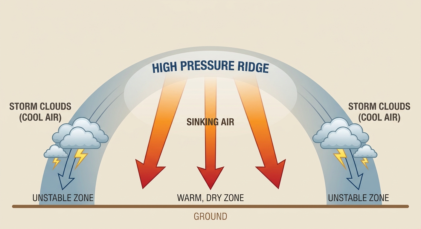
Get this. There's a big upper-level ridge parked over the northern High Plains, and it's not going anywhere fast. Think of a ridge like a dome of high pressure that acts as a traffic cop for the atmosphere. It steers the real energy around its edges instead of straight through the middle.
That setup does two things at once.
Out West and up in the Northern Plains, underneath and just west of that dome, the air sinks and bakes. The forecast for Sunday, July 12, has highs pushing 100 to 110 degrees from Montana into North Dakota. Salt Lake City could challenge 107. Billings could flirt with its all-time high near 108. That's 15 to 25 degrees above what's normal for mid-July out there.
Around the eastern and southern edge of the ridge, storms keep firing. That's why the Southeast has been getting hit day after day with afternoon and evening thunderstorms.
What The Storm Data Actually Says
Let me be straight with you, because accuracy matters more than drama.
For today, the Storm Prediction Center has a Slight Risk of severe storms running from central Oklahoma across the Mid-South to the Carolina coast, plus southern Arizona. Slight Risk is level 2 of 5. The main hazard is damaging wind, with a 15 percent scattered damaging wind threat in the higher-end zone. Tornado and hail chances are low, around 2 and 5 percent.
For Sunday, that severe threat slides east into eastern Georgia and the Carolinas. Same story: mostly a wind threat, with Charleston, Columbia, and Charlotte in the Slight Risk. Arizona's monsoon keeps the desert Southwest in play too.
There's also a Slight Risk of excessive rainfall, which is a flash flood concern, from eastern Kentucky and Tennessee into the Carolinas through Sunday and into the central Gulf Coast on Monday. That matters because this region has already taken a beating. Just yesterday a spotter near Oates, Missouri measured 12.25 inches of rain and the Weather Service issued a Particularly Dangerous Situation Flash Flood Emergency. When soil is already soaked, it takes a lot less rain to cause trouble.
Connecting It To The Weekend
So how does this touch the sports crowd?
- The World Cup Final, MetLife Stadium, July 19. That's more than a week out, so nailing down a forecast isn't honest yet. But the SPC's extended outlook does flag a 15 percent severe area over the I-95 corridor, including Philadelphia and the Mid-Atlantic, around that timeframe. That's worth watching, not worrying about. History backs the caution: the 2012 derecho and July 2021 Pennsylvania tornadoes both remind us the Mid-Atlantic can produce real July severe weather.
- MLB All-Star Game, Philadelphia, July 14. Same corridor, same pattern. Summer evening storms are part of the deal in the Northeast this time of year. Philadelphia's normal mid-July high is 87.
- WNBA in Dallas, Chicago Sky at the Wings, Sunday night. Dallas sits near the edge of the storm zone, and normal highs there run 97 this time of year. Heat and a stray storm are both in play.
If you're gathering outside to catch a match this weekend anywhere from the Carolinas through the Gulf Coast, the move is simple. Storms in this pattern tend to pop in the afternoon and evening. Have a plan to get indoors quick, because the biggest risk here is wind knocking down trees and power lines. We saw plenty of that across the Carolinas just yesterday, with more than 37,000 customers losing power in North Carolina after 70 mph gusts.
The Good News
Not everybody's under the gun. The best weather this weekend sets up along the northern tier, from the Pacific Northwest through the Upper Midwest into northern New England. Light winds, comfortable dewpoints in the 50s, near-zero rain chances. If you're catching a game up around Minneapolis or Seattle, you've got the nice seats.
The Takeaway
The World Cup is giving us all something to cheer about, and the weather doesn't have to spoil it. Just know the assignment. If you're in the Southeast or the Mid-South this weekend, watch the sky in the afternoon and keep your watch party flexible. If you're out West or up in the Plains, the heat is the story, so hydrate and respect it. And for that Final in Jersey on the 19th, it's too early to call, but the pattern says keep half an eye on the forecast as it gets closer. Weather and soccer have one thing in common right now. Both are worth paying attention to.