Blog Article
World Cup Final Weather: NJ Storms Tonight, Clearer Sunday
Tonight's Enhanced Risk severe storms hit the NY-NJ-Philly corridor hours before the World Cup Final kicks off at MetLife Stadium. Here's the timeline.

World Cup Final Weather: What Tonight's Storms Mean for Tomorrow's Big Match
Alright folks, the world's biggest game just got a weather subplot
England's through to the final. France just got put behind the eight ball. Fans are already flooding into the New York metro for tomorrow's World Cup Final at MetLife Stadium in East Rutherford, New Jersey. And get this, y'all, this isn't the first time weather's crashed a soccer party in that same media market this week. Gotham FC hosted Seattle Reign with extra hydration breaks and a weather delay right there in the NYC area. So before anybody assumes tomorrow's a lock for sunshine, let's talk about what's actually happening in the sky.
Tonight's the wildcard, not tomorrow
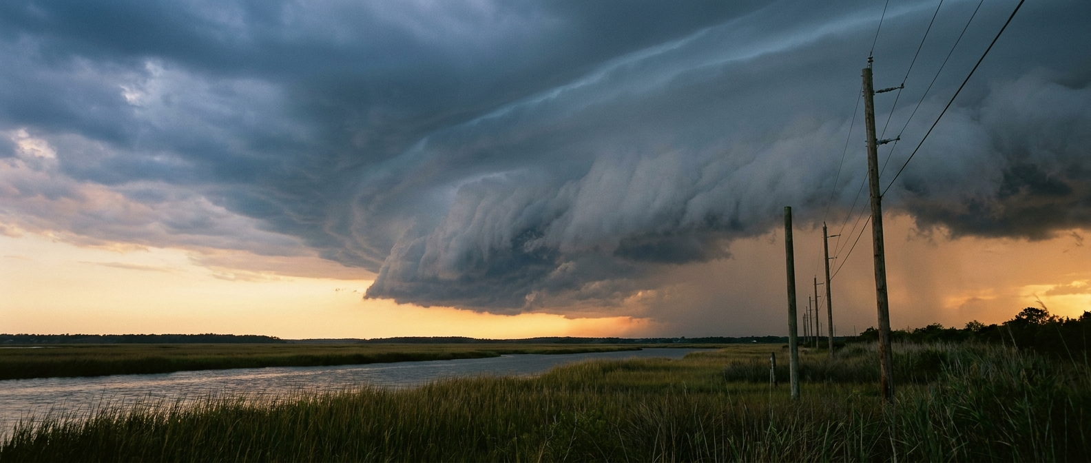
Here's the thing. The real weather story isn't kickoff day. It's tonight. The Storm Prediction Center has an Enhanced Risk, that's a Level 3 out of 5, painted right across the Lower Great Lakes and Mid-Atlantic. New York, Philadelphia, Washington, Baltimore, and Cleveland are all in it, and that's about 52 million people under the gun through tonight and into the overnight hours.
The headline threat is wind. SPC has a 45 percent probability of widespread damaging gusts, and inside a smaller hatched zone, gusts could reach 75 mph or better if the strongest cells organize. There's also a 5 percent tornado probability, described as "a few tornadoes possible," and if one spins up inside the hatched zone, it could reach EF2 strength. That's not a footnote. If you've got a Yankees-Dodgers game on your calendar tonight in the Bronx, that first pitch falls right inside this window. Same goes for anybody road-tripping the I-95 corridor between Philly and DC this evening.
Why the front matters for kickoff
Now here's the part that should ease some nerves. The same cold front producing tonight's mess is the one expected to clear the New York City area ahead of Sunday's final. Look at the SPC Day 2 outlook, the one that covers match day. The Slight Risk area shifts south, sitting over southeast Virginia and North Carolina, places like Charlotte, Raleigh, and Norfolk. East Rutherford isn't in that footprint.
That's the pattern doing its job. Cold fronts clear the air behind them, and by Sunday the worst of the instability should be well south of MetLife Stadium. Our own Day 2 outlook discussion flags a different limiting factor for the Northeast though, not storms, but haze. Canadian wildfire smoke has been drifting into the region, and marginal winds mean it doesn't clear out fast. So don't be shocked if kickoff skies look a little milky instead of bright blue. That's an air quality story, not a severe weather one, but it's worth knowing if you've got kids or anyone with respiratory issues tailgating outside the stadium for hours.
A tornado record on the calendar
One more thing worth mentioning, because it's the kind of detail that makes this stuff stick with you. Sunday falls exactly three years after North Carolina's July 19, 2023 EF3 tornado, the one that injured 16 people. That storm hit during this same stretch of the calendar, in roughly this same corridor that's now sitting under Sunday's Slight Risk. It's not a prediction. Calendars don't cause tornadoes. But it's a good reminder that late July in the Carolinas and Virginia has a track record, and this weekend's setup is following a familiar script.
What this means for you
- Heading to a ballgame tonight in Philly, the Bronx, or Boston? Check the radar before first pitch. Damaging wind gusts are the main concern, and a stray tornado can't be ruled out.
- Driving I-95 or I-81 through the Mid-Atlantic this evening? Give yourself extra time and watch for downed trees and ponding on the roadway.
- Going to the World Cup Final tomorrow? The severe threat should be well south of you by kickoff, but expect hazy skies from lingering wildfire smoke, and dress for warmth and humidity either way.
- Got family in the Carolinas or southeast Virginia this weekend? Sunday's Slight Risk is real. Have a way to get warnings.
The takeaway
Tonight's storms and tomorrow's final are two different weather stories wearing the same calendar date. The front clearing the Northeast tonight is exactly what sets up better conditions for kickoff, even if it leaves some smoke haze behind. Watch tonight's ballgames and evening commute close. Watch tomorrow's skies for haze more than storms. And if you're in the Carolinas this weekend, keep an eye on that Slight Risk. The World Cup only comes around every four years. The atmosphere doesn't care, and neither should you when it's time to check a forecast before you head out the door.