Blog Article
World Cup Fan Festivals Threatened by Severe Weather System
A severe weather system bringing 75 mph winds to the Midwest tonight will threaten World Cup watch parties and fan festivals on the East Coast tomorrow.
World Cup Watch Parties Meet a Mid-Atlantic Wind Threat
Get this, y'all. The World Cup is officially back on North American soil. Fans from Scotland to Canada are packing flights, and cities are building massive outdoor viewing areas. Tomorrow, Philadelphia opens its official FIFA Fan Festival. But the atmosphere has a different kind of kickoff in mind.
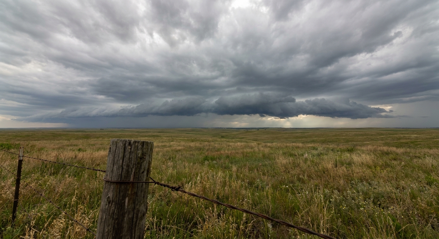
We have a highly volatile weather pattern moving across the country right now. It is already causing major headaches for outdoor events, and it is going to cause more tomorrow.
The Midwest Threat Tonight
Right now, a very serious situation is unfolding across the Midwest. The Storm Prediction Center has placed the Chicago and Milwaukee areas under a Level 4 out of 5 Moderate Risk for severe weather.
We are looking at a 60 percent probability of widespread, intense damaging winds. Gusts could easily top 75 mph. There is also a 15 percent hatched risk for tornadoes, meaning strong tornadoes are possible if discrete supercells can form ahead of the main line.
If you have tickets to see the Braves play the White Sox in Chicago tonight, you need to be weather aware. A 75 mph wind gust will easily damage stadium infrastructure and toss tailgating gear.
The Shift East Tomorrow
Tomorrow, that exact same system marches east. The severe threat shifts right over the I-95 corridor.
The Storm Prediction Center has highlighted a Level 2 out of 5 Slight Risk stretching from New York down through Philadelphia, Baltimore, and Washington, D.C. The main hazard transitions from tornadoes to straight-line winds. We have a 30 percent probability of numerous damaging wind gusts in this zone.
Why is this happening? A strong cold front is plowing into a very hot, sticky airmass. Philadelphia usually sees high temperatures around 83 degrees this time of year. Tomorrow, temperatures and humidity will pool ahead of that front, creating an unstable environment with plenty of convective available potential energy.
All that heat acts like premium fuel. When the front arrives, it forces that hot air up. The result is organizing clusters of thunderstorms capable of producing water-loaded downbursts.
What This Means For Your Friday
This timing is tough. These storms are expected to develop Friday afternoon and push through the Mid-Atlantic during the evening hours. That is exactly when thousands of people will be gathering at outdoor Fan Festivals and patios for the World Cup opening matches.
Wind gusts over 60 mph will snap tree branches, knock out power, and turn temporary outdoor structures into hazards. If you are heading out to a watch party tomorrow evening, figure out where the nearest sturdy brick-and-mortar shelter is located. Have a way to get warnings that will wake you up or break through the crowd noise.
https://ryanhallyall.com/blog/world-cup-watch-parties-meet-a-mid-atlantic-wind-threat