Blog Article
Severe Weather Threatens Midwest and Chicago Cubs Game
A Level 4 Moderate Risk for severe storms brings tornado threats to Illinois and Indiana, while PTC One causes major flooding along the Texas Gulf Coast.
Wrigley Field Washouts and a Dangerous Wednesday in the Midwest
Get this, y'all. If you have tickets to see the Cubs host the Rockies at Wrigley Field tomorrow night, you might want to check the refund policy.
A massive weather system is setting up across the Midwest for Wednesday. It is going to bring the kind of rain that ruins a ballgame, but just south of the city, we are looking at a genuinely dangerous severe weather outbreak. We have two major weather stories happening right now, and both of them are going to disrupt a lot of plans.
A Volatile Wednesday for the Midwest
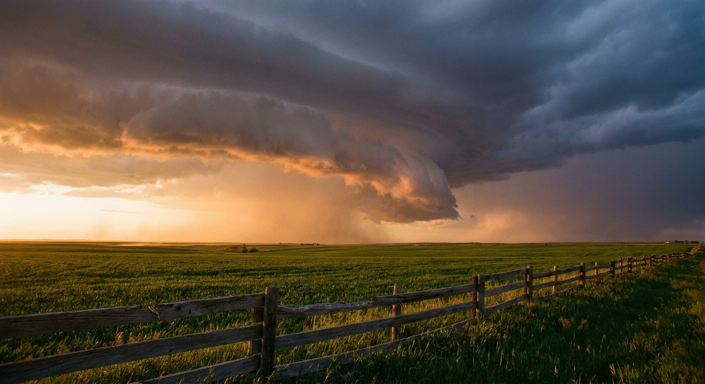
The Storm Prediction Center has issued a Level 4 out of 5 Moderate Risk for severe storms on Wednesday. This covers a big chunk of central Illinois and stretches right into northwest Indiana. If you live in Springfield, Peoria, Champaign, or Indianapolis, you are right in the bullseye.
Here is what is happening in the atmosphere. A strong jet streak is punching into the lower Great Lakes. That fast-moving air high up in the atmosphere is going to mix with hot, sticky air down at the surface. The result is a highly volatile environment that looks remarkably similar to the June 2015 outbreak that produced significant tornado damage across Illinois.
The data shows a 15 percent hatched risk for tornadoes in this area. That means we are not just talking about brief spin-ups. If storms form and mature, they could produce strong tornadoes reaching EF3 intensity or higher. We are also looking at the potential for 80 mph wind gusts and hail the size of hen eggs.
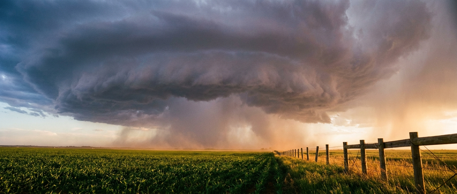
Up in Chicago, the severe threat is a bit lower, but the water is going to be a huge problem. The Weather Prediction Center has placed the Chicago metro area under a Moderate Risk for excessive rainfall tomorrow. A deep layer of moisture is going to fuel heavy downpours. Wrigley Field is likely going to look more like a swimming pool by the first pitch. If you are traveling on Interstate 55 or I-57 tomorrow afternoon, expect major delays and blinding rain.
The Gulf Coast Keeps Taking on Water
While the Midwest braces for tomorrow, the Gulf Coast is still dealing with an absolute mess right now.
Potential Tropical Cyclone One is sitting about 55 miles south-southwest of Corpus Christi. The sustained winds are only around 30 mph. But as we always say, the wind is not the main story. It is the water.
Yesterday, the Cinco Ranch gauge in El Indio measured a staggering 8.85 inches of rain. We saw widespread water rescues and flooded homes across South Texas. Today, that heavy rain threat is shifting slightly east. The upper Texas coast, including Houston, right through southwestern Louisiana is under a Moderate Risk for excessive rainfall.
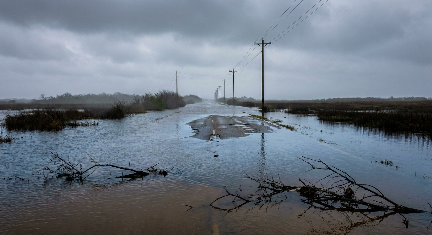
The ground in these areas is completely waterlogged. Any new rain is going to run straight off into the streets and bayous. If you live in Houston or Lake Charles, you know how fast these roads can go under. Do not try to drive through flooded intersections tonight.
We have two very different, very serious weather threats happening at the same time. Keep your phones charged and your weather alerts turned on loud.
https://ryanhallyall.com/blog/wrigley-field-washouts-and-a-dangerous-wednesday-in-the-midwest