Blog Article
Phoenix Flood Risk Tonight: Why Deliveries May Run Late
A WPC Moderate Risk for excessive rainfall hits Phoenix and Tucson tonight while Oklahoma City gets calm fair weather. Here's what's driving both.
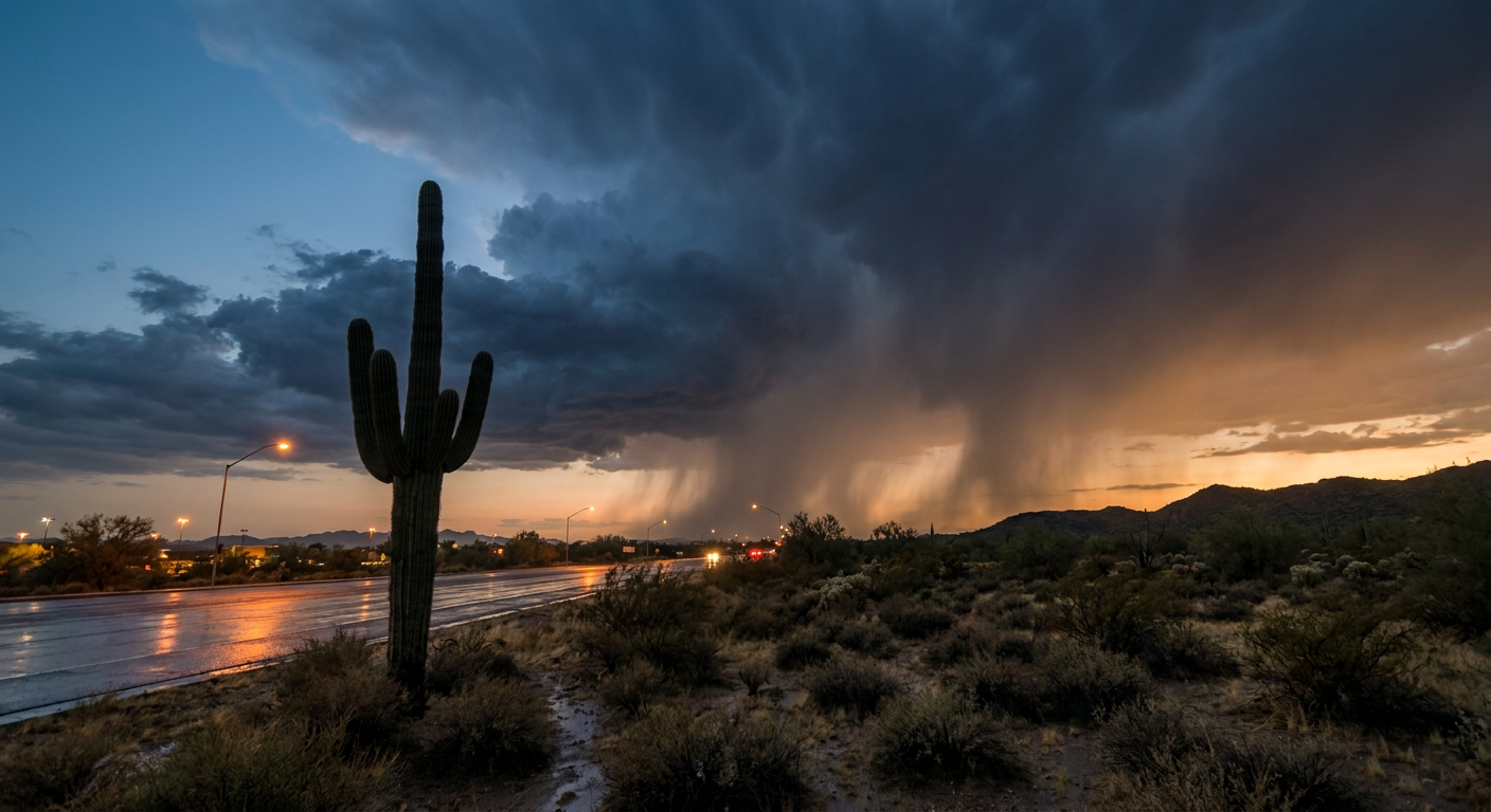
Your DoorDash Might Actually Be Late Tonight, and Phoenix Is Why
Y'all probably saw that story bouncing around today. Guy in Bucks County gets so mad about a slow DoorDash delivery that he shoots at the driver. Ends up in prison. It's a wild story, and it's got people talking about delivery times, patience, and what's a reasonable wait for a burrito.
Here's the thing though. Tonight, if you're ordering delivery in Phoenix, Tucson, or Flagstaff, there's an actual, meteorological reason your food might show up late. And it's not the driver's fault.
Phoenix Is Sitting Under a Moderate Risk Tonight
The Weather Prediction Center has central and southern Arizona, plus the Sacramento Mountains of New Mexico, under a Moderate Risk for excessive rainfall through midday Thursday. That's WPC's second-highest tier, and it doesn't get handed out lightly.
Here's what's driving it:
- HREF model guidance shows a 60 to 90 percent chance of more than 2 inches of rain falling overnight into Thursday across the Phoenix metro and surrounding terrain.
- Precipitable water values are running 2 to 4 standard deviations above normal for mid-September. In plain English, the atmosphere over the desert is loaded with more moisture than it usually carries this time of year.
- Storms are training, meaning cell after cell rolling over the same spot instead of moving through. That's the setup that turns a normal thunderstorm into a flash flood.
- Flagstaff's Mogollon Rim and the Sacramento Mountains add steep terrain to the mix, which means debris flows and fast-rising creeks on top of the street flooding down in the valley.
This isn't a new pattern for the Southwest this month. Just three days ago, on September 13, Yavapai County saw Big Bug Creek jump three feet in under an hour near Mayer, Arizona, with flash flood warnings tagged "considerable" across Coconino, Yavapai, and Navajo counties. Tonight's setup is cut from the same cloth, just with a bigger area and a higher category attached.
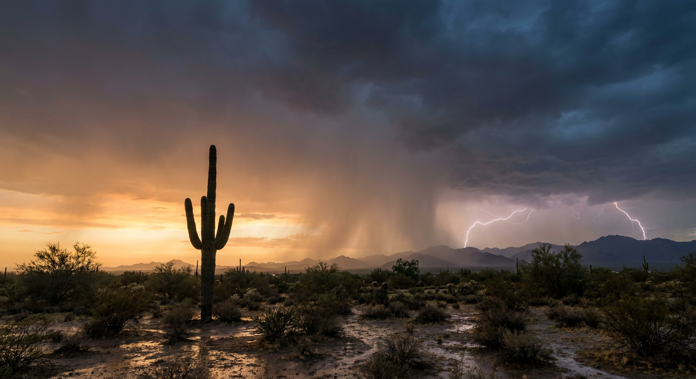
So if your DoorDash driver is white-knuckling it through standing water on Camelback Road tonight, cut them some slack. Better yet, just order early or wait it out. Phoenix streets aren't built to drain 2 inches of rain fast, and "my food is cold" beats "my car is stuck in a wash" every time.
Thursday, the Rain Packs Up and Heads North
By Day 2, the excessive rainfall threat shifts away from the desert and up toward the north-central Plains and Upper Midwest. Southwestern and south-central South Dakota carry the highest-end concern, where a tropical-origin shortwave ejects out of the Southwest and runs smack into a saturated atmosphere over the Northern Plains. We're talking a possible 2 to 4 inches, locally more, with flash flooding potential stretching from South Dakota through the I-90 corridor into southern Minnesota and northern Iowa. Chicago and the Ohio Valley could see some nocturnal training storms too, so this isn't a one-and-done story. Keep an eye on it as we move through the week.
Meanwhile, the Oklahoma State Fair Actually Gets Fair Weather
The Oklahoma State Fair opens tomorrow in Oklahoma City, and here's the good news for anyone headed to the fairgrounds: nothing in the current outlook puts Oklahoma under a severe weather or flooding threat. The broader pattern across the Plains settles into what our nice-weather outlook calls NICE to FAIR conditions, meaning some cloud cover around but nothing that ruins a day of fried food and livestock judging.
September's average high in Oklahoma City sits at 84 degrees, with lows around 62. If the fair opens anywhere close to that, you're looking at a pretty typical late-September day. Bring a light jacket for the evening and you'll be fine. It's a good reminder that on any given day, one part of the country can be under a Moderate excessive rainfall risk while another part enjoys about as normal a fair week as you could ask for.
One More Thing: Look Up Tonight
Separate from all this, NOAA's Space Weather Prediction Center has a G1 Minor geomagnetic storm watch out for tonight and tomorrow, driven by a combination of a coronal hole high-speed stream and some lingering influence from CMEs that left the sun a few days back. G1 is the mildest storm category there is, but it can occasionally push faint aurora a little farther south than usual and cause minor hiccups for some satellite and GPS operations. Nothing to lose sleep over, but if you're somewhere dark tonight with a clear view north, it doesn't hurt to glance up.
The Takeaway
Weather doesn't care about your food delivery app, your fair plans, or your bracket. Tonight it's Phoenix dealing with a genuine flash flood threat while Oklahoma City gets a calm, on-schedule start to fair season. Both things are true at once, and that's just how a big country works. So if your order's running late in the Southwest, blame the sky, not the driver.
https://ryanhallyall.com/blog/your-doordash-might-actually-be-late-tonight-and-phoenix-is-why