Blog Article
NFL Preseason Weather: Storm Risk Hits I-95 Football Cities
Severe storms and flash flood risk overlap with NFL preseason games in Baltimore, Philly, and NYC this weekend. Here's what tailgaters need to know.
Your Preseason Football Weekend Just Got a Weather Forecast
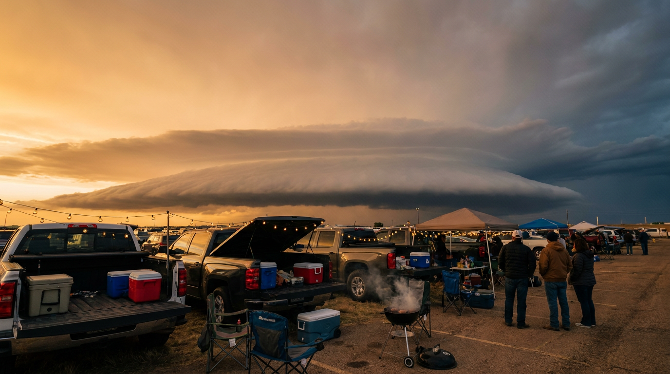
Alright, y'all. Football's back, even if it's just the preseason kind. Eight NFL games are on the outdoor schedule this weekend, from Orchard Park to Denver, plus a full slate of college kickoffs Saturday. Tailgates are getting planned. Coolers are getting packed. And get this: a good chunk of those stadiums sit right inside the corridor our own forecasters are already circling for Thursday and Friday.
This isn't a first-week-of-the-season coincidence. It's the same pattern we've been tracking through this whole active stretch of August, the one that's already dropped 8-plus inches of rain on North Dakota and put 80 mph gusts through the Texas Panhandle this week alone.
The Corridor Everybody's Packing Into
Here's the setup. SPC's Day 2 outlook (valid Thursday into Friday morning) puts a Slight Risk for severe storms across the Mid-Atlantic and Northeast, stretching from Philadelphia and Washington up through Baltimore, Newark, and Albany. That's not a huge, angry outbreak kind of risk. It's damaging wind, some hail, maybe an isolated tornado if a storm gets organized. But look at who's playing where Thursday and Friday night:
- Steelers at Bills in Orchard Park, NY (Thursday night)
- Commanders at Ravens in Baltimore
- Giants at Jets in East Rutherford, NJ
- Bengals at Eagles in Philadelphia
Four of the weekend's outdoor games sit inside or right on the edge of that same Slight Risk zone. Add in the WPC's Day 2 excessive rainfall outlook, which also carries a Slight Risk for the Baltimore-to-NYC I-95 corridor, and you've got a legitimate double threat: storms that can pack a punch, and rain that can fall hard enough, fast enough, to flood streets and parking lots before halftime.
Why This Isn't Just Another Summer Storm
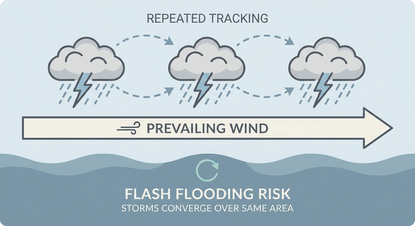
The reason WPC is worried about flash flooding isn't just the rain totals, it's the ground underneath it. Soil moisture and flood guidance (FFGs, in forecaster-speak) are already primed from a soggy August. When you stack 2 to 4 inches of rain on top of that, with rates of 1 to 2 inches an hour in training thunderstorms, that's how you get flash flooding in cities that don't normally flood easy.
"Training storms" just means one cell after another rolling over the same spot, like train cars on a track. Combine that with precipitable water values (PWATs) sitting around 1.75 to 2 inches, which is a lot of moisture stacked in the atmosphere for late August, and southerly flow at 850 millibars feeding it in, and you've got the recipe WPC is flagging.
Meanwhile, the Fairgrounds Win
Here's the flip side. If you're headed to the Minnesota State Fair this weekend, or you've got tickets for the Vikings-Broncos game in Denver, you're in luck. The Upper Midwest and central High Plains are sitting under the best air mass in the country right now, what our nice weather discussion is calling BEAUTIFUL conditions: high pressure, dry post-frontal air, light winds. Denver's forecast highs should run close to the August normal of 87, nothing dramatic, just a clean, comfortable evening for football.
Compare that to Charlotte, where the Texans and Panthers kick off Friday night under a Marginal Risk for storms building in from the Day 3 outlook, or Miami Gardens, where the Falcons and Dolphins will play in typical late-August Florida heat and humidity, highs near the 91-degree normal with that afternoon storm chance that never really leaves this time of year.
What This Means for Your Weekend
None of this is a reason to cancel a tailgate. It's a reason to have a plan. If you're driving into Baltimore, Philly, or the NYC region Thursday or Friday, check the radar before you leave the house, know where the nearest solid shelter is at the stadium, and don't try to drive through a flooded underpass, we watched Amarillo deal with exactly that kind of water rescue situation just this week. Isolated severe storms don't need a big headline to ruin a parking lot party.
So here's the bottom line: this preseason weekend, the forecast matters almost as much as the depth chart. Check it before you check the box score.
https://ryanhallyall.com/blog/your-preseason-football-weekend-just-got-a-weather-forecast