Blog Article
Weekend Weather: NFL Games, DC Grand Prix, Hawaii Storms
SPC marginal risk zones overlap NFL preseason games, a DC street race faces flood risk, and Tropical Storm Moke threatens Hawaii's festival weekend.
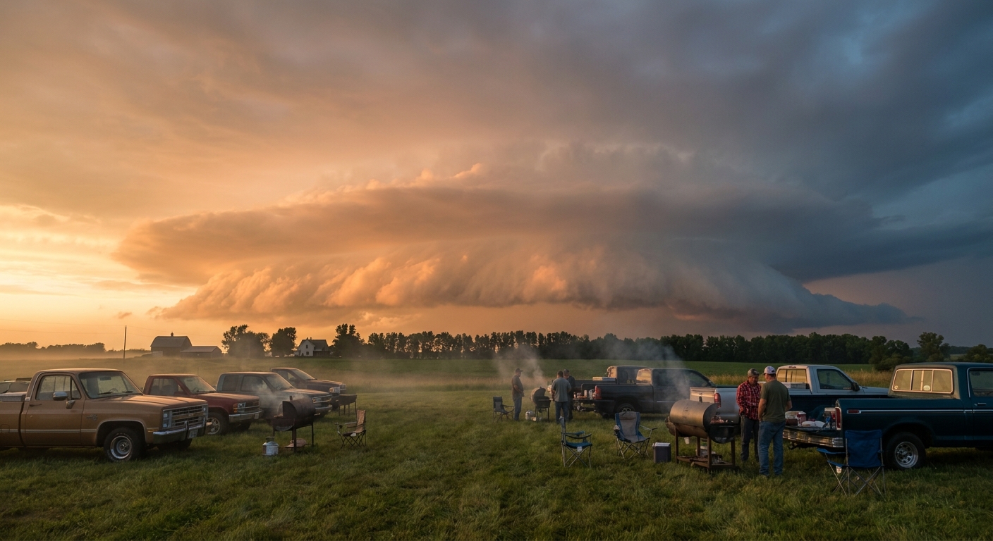
Your Weekend Plans Are About to Meet a Marginal Risk
Alright folks, "severe thunderstorm watch" is sitting at over 10,000 searches tonight after storms dropped hail on New Orleans and reminded everybody the atmosphere's still not done with this month. Fair enough. Yesterday alone gave us an EF-1 tornado and a macroburst in western Kentucky, a rain-wrapped tornado in Delaware, and a fatal lightning strike in Cape Charles, Virginia. So when I tell you tonight and tomorrow carry another round of marginal and slight risk zones, I get why you'd want to know exactly where those zones sit. Turns out, they sit right on top of a lot of people's weekend plans.
Kickoff Meets a Marginal Risk in Jacksonville
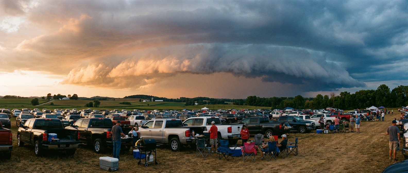
The Panthers and Jaguars kick off preseason ball tonight in Jacksonville, which happens to fall inside today's SPC Marginal Risk area for severe thunderstorms. That's the lowest rung on the five-category SPC ladder. It doesn't mean storms are guaranteed. It means if storms do fire, there's an isolated chance of damaging wind or hail, nothing widespread. Statewide, SPC has wind gusts of 60+ mph carrying a 5 to 15 percent chance today across parts of the Gulf Coast and central Plains, with hail up to 2 inches possible in the more organized cells. Jacksonville sits on the outer edge of that risk, not the bullseye, but outdoor tailgates should still keep half an eye on the sky between innings.
Saturday Pulls the Risk Into the Ohio Valley and Front Range
Saturday's slate is stacked: Bills at Browns in Cleveland, Bears at Bengals in Cincinnati, and Packers at Broncos in Denver. All three sit inside or near SPC's Day 2 Marginal Risk area, which stretches from the northern Rockies and Colorado Front Range through the central Plains and into the middle and upper Ohio Valley. The setup is a corridor of scattered strong storms, not a widespread outbreak. SPC has isolated 60+ mph gusts and quarter-size hail as the main hazards, each carrying about a 5 percent probability. Translation: most of the region stays dry, but a stray storm near the stadium parking lot on Saturday evening wouldn't shock anybody who's been paying attention to this month.
The DC Grand Prix Gets Some Uninvited Company
Sunday's IndyCar street race through downtown Washington runs right through WPC's Day 2 Slight Risk for excessive rainfall, an area covering the Mid-Atlantic and I-95 corridor. The Baltimore/Washington forecast office flagged precipitable water values around 2 to 2.3 inches and the potential for training convection, the same recipe that dumped 2 to 4 inches of rain on the Carolinas and Virginia today. A street circuit with temporary drainage and painted racing lines doesn't handle standing water well, so if you're headed to the National Mall for the race, build in some flexibility for a weather delay.
Hawaii's Getting a Second Act
Here's the bigger story, and it's a tropical one. Hurricane Lala is pulling away to the north as a Category 1 storm, no longer a direct threat to the islands. But Tropical Storm Moke has organized right behind it, currently packing 46 mph winds about 660 miles southeast of Hilo. Air Force recon is flying it right now. Moke's forecast track brings its closest approach to Hawaii Island's south shore Sunday, with an experimental impact model flagging the Big Island, the Kona Coast, and Hilo at an "aware" threat level, meaning rain bands, elevated surf, and rip currents are more likely than a direct landfall.
The timing is rough. The Best of Hawaii Music Festival kicks off Saturday in Honolulu, and after Lala already dropped 140 mph gusts on the Mauna Kea Summit and triggered a flash flood emergency in the Kau District two weeks ago, this is the second tropical system to test the islands' patience in the same month.
What This Means If You've Got Plans
- Jacksonville tonight: Marginal risk, isolated wind and hail if storms fire. Keep the tailgate close to shelter.
- Cleveland, Cincinnati, Denver Saturday: Marginal risk in a broader corridor. Most of the day stays fine, but watch the radar in the evening window.
- DC Grand Prix Sunday: Slight risk for excessive rainfall along the whole I-95 corridor. Build in a rain delay buffer.
- Hawaii this weekend: Rain and surf risk from Moke building through Sunday, especially the Big Island's south and west shores. Festival-goers in Honolulu are farther from the core impact but should watch surf advisories.
None of this is a washout weekend. It's a reminder that August's pattern hasn't fully let go, and marginal risk doesn't mean zero risk, it means check the sky before the first pitch, the green flag, or the first set.
Whatever you've got going on this weekend, football, a street race, or a beach in Kona, the forecast's asking for the same thing from all of us: a little flexibility and a phone that can pull up radar.
https://ryanhallyall.com/blog/your-weekend-plans-are-about-to-meet-a-marginal-risk