Forecasts
High Speeds and High Winds: Texas Can't Catch a Break
By Ryan Hall, Y'all Weather Desk · Published
Written by our automated news desk from National Weather Service data.
NASCAR fans saw plenty of speed at Texas Motor Speedway this weekend, but the real high-speed action is in the atmosphere. Following a historic 119 mph wind gust on the coast, a new severe weather threat is targeting Northeast Texas and Oklahoma for Tuesday.

Get this, y'all. If you were following the NASCAR Cup Series at Texas Motor Speedway this weekend, you know the action was intense. Joey Logano and Chase Elliott have been dominating the timelines all day. But the real high-speed action in Texas lately has not been on the asphalt. It has been in the atmosphere.
We are just a couple of days removed from one of the wildest wind events you will ever see. A severe thunderstorm down the coast near Point Comfort produced a measured wind gust of 119 mph. That is Category 3 hurricane territory, straight out of a regular spring thunderstorm. It snapped wooden transmission poles like toothpicks. The normal high for Dallas in early May is right around 84 degrees, and we have had plenty of that classic Texas heat fueling these massive systems.
Now, as the racing teams pack up their haulers and head home, we are tracking another threat.
The Storm Prediction Center has outlined a Slight Risk for severe thunderstorms on Tuesday for Northeast Texas, Southeast Oklahoma, and parts of Arkansas. That is a Level 2 out of 5. The Dallas-Fort Worth metroplex is sitting right on the edge in the Level 1 Marginal Risk zone.
Here is exactly what is happening in the sky.
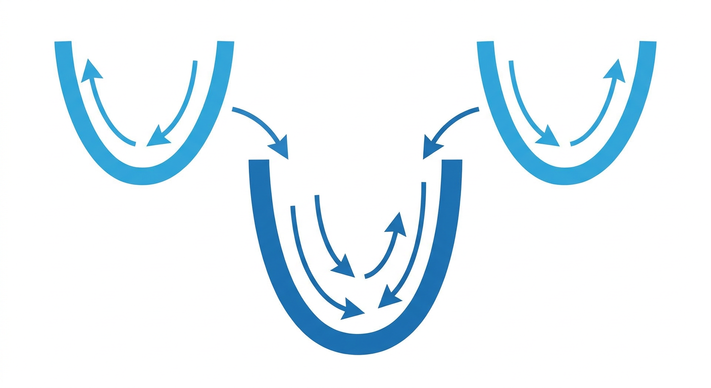
We have a broad dip in the jet stream over the northern part of the country. On Tuesday, that northern trough is going to link up with another system coming out of the Southwest. When those two phase together, they create a massive exhaust system high up in the atmosphere.
A strong mid-level jet stream will extend from the Southwest right into the lower Mississippi Valley. That fast-moving air aloft acts like a vacuum, pulling warm, moist air up from the Gulf of Mexico. When that humid surface air rises fast enough into the colder air above, you get isolated to scattered supercells. The main threats on Tuesday afternoon and evening will be large hail and damaging winds.
On top of that, if you head just a bit further west into the Texas Panhandle and eastern New Mexico, we are dealing with a completely different problem. Westerly winds coming down off the mountains are creating elevated fire weather conditions. The air is bone dry, and any spark out there will travel fast.
Texas has been through the wringer this week. We have seen everything from five-inch hail near Camp Wood to life-threatening flash floods in San Antonio. Tuesday brings another round for the eastern half of the state. Make sure your weather radios have fresh batteries and your phones are off silent before you go to sleep.
https://ryanhallyall.com/news/high-speeds-and-high-winds-texas-cant-catch-a-break