Video
Ryan reviews weather near Palm Beach County jet crash; NTSB to determine cause
By Ryan Hall, Y'all Weather Desk · Published
Written by our automated news desk from Ryan's video.
In a Ryan Hall Xtra video, Ryan lines up the radar, satellite, lightning and flight data around the Learjet 60 crash in Palm Beach County, Florida. He says the NTSB has to determine what brought the plane down. The video shows what the storm was doing at the jet's altitude and closes on why planes go around thunderstorms.
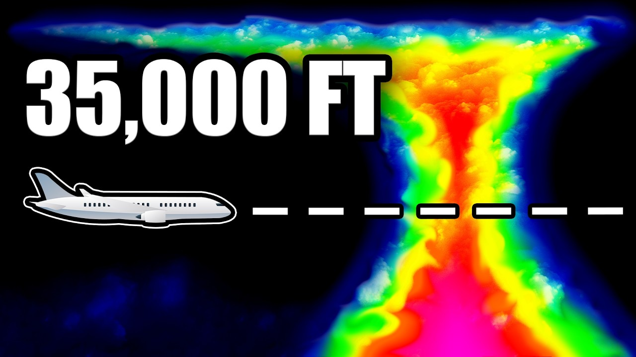
Watch on YouTube: Why Did This Jet Fall From 35,000 FEET?
Key points
- Ryan points out the jet was flying from Austin, Texas, to the Bahamas, cruised near 41,000 feet, then stepped down near Naples and leveled off at 35,000 feet heading east across South Florida.
- He says a cluster of thunderstorms sat over Palm Beach County with lightning all around it, in very moist air with a flood watch in effect.
- Ryan notes the storm's anvil cloud hid everything. From satellite it looked like "one big smooth white cloud," and the strong core showed up only on radar underneath.
- He shows that the top of the storm grew up into the jet's altitude in the same few minutes the jet flew over it.
- He lists what investigators will look at, and he is clear that "these are possibilities, not answers right now."
Ryan Hall Xtra went through the weather data around the Learjet 60 crash in Palm Beach County, Florida, on Sunday, Nov. 1. Ryan reports nine people died. He says the cause is for the NTSB to determine, and his video only lays out what the radar, satellite, lightning and flight data show. He plans to revisit the weather side when the NTSB releases its first report.
What Ryan covered
- Ryan points out the jet was flying from Austin, Texas, to the Bahamas, cruised near 41,000 feet, then stepped down near Naples and leveled off at 35,000 feet heading east across South Florida.
- He says a cluster of thunderstorms sat over Palm Beach County with lightning all around it, in very moist air with a flood watch in effect.
- Ryan notes the storm's anvil cloud hid everything. From satellite it looked like "one big smooth white cloud," and the strong core showed up only on radar underneath.
- He shows that the top of the storm grew up into the jet's altitude in the same few minutes the jet flew over it.
- He lists what investigators will look at, and he is clear that "these are possibilities, not answers right now."
The data Ryan lined up
Ryan says there was no severe thunderstorm warning on the ground. Palm Beach's airport had light rain, gusty wind and lightning off to the west. A convective SIGMET, an aviation warning, did cover the area and said storm tops were over 45,000 feet. A Miami weather balloon that morning showed storms could reach about 44,000 feet. The anvil top was around 48,000.
On the timeline, Ryan says the crew reported light ice and moderate turbulence at about 12:45. Outside air was about minus 47°C, so that ice was ice crystals, which show up weaker on radar than rain. The jet began a 2,000-foot climb at 12:47 and 56 seconds, right over the strongest part of the storm. The nose dropped at 12:48 and 17 seconds. Within 20 seconds the jet was descending at 20,000 feet per minute, and the crew called a mayday 12 seconds into the dive. Ryan says it hit the ground near Military Trail 76 seconds after the nose dropped.
A cross-section Ryan built from the Miami radar along the jet's path shows the red core below and the tower rising above it. He says 35,000 feet on the altimeter was probably closer to 37,000 feet above the ocean on a warm day. At that height, he says, the jet was flying through the top of the storm.
Radar at the jet's altitude showed only a faint echo at 12:44, a solid echo at 12:49 and fading by 12:54. Ryan says Doppler radar showed air blowing outward at the top of the storm, a sign of air rushing up through the middle. His rough estimate is that air was rising a few thousand feet per minute. Lightning flashed two to four times a minute and peaked at 12:47.
What Ryan says is still unknown
Ryan says what turned the climb into a dive is not known. He walks through four areas investigators will examine:
- The edge of the updraft, where a wing can lose lift moving from rising to sinking air.
- Airspeed sensors that ice crystals could block.
- A narrow speed window up high. The jet was cruising at about 72% of the speed of sound, with a limit of 81%.
- Things unrelated to weather, such as the autopilot, the trim or something mechanical.
Ryan says any of those or none of them could be the answer. The NTSB will go through the recorders, the airplane and all the weather data. He says it's why planes go around thunderstorms, and why that delay is worth it.
Watch Ryan's full video above for the radar loops, the storm cross-section and the second-by-second flight timeline.
More on November 2026 weather
Places in this story: Miami, FL
Sources
- Ryan Hall Xtra video: Why Did This Jet Fall From 35,000 FEET?, Ryan Hall Xtra, issued