Winter weather
First Snow Possible in Interior Northeast Friday, Lake Effect Behind It
By Ryan Hall, Y'all Weather Desk · Published
Written by our automated news desk from National Weather Service data.
A cold shot and a developing coastal storm could bring the first snow of the season to interior New York, Vermont and Pennsylvania on Friday. Lake-effect snow could follow in the usual snowbelts. How much falls is still too uncertain to say.
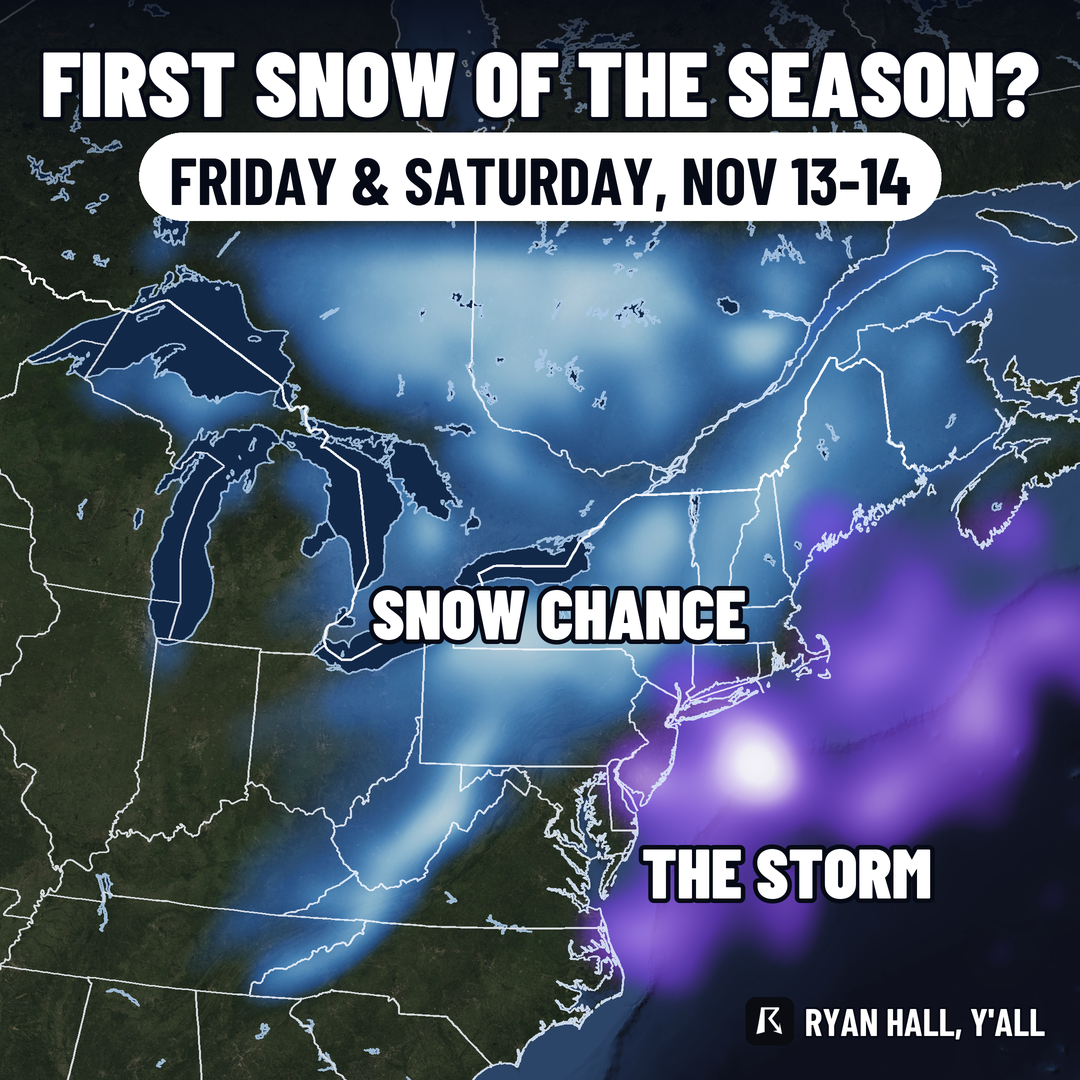
Key points
- Where: The best chance is away from the coast, in the Adirondacks, the Green Mountains and the higher ground of Pennsylvania. Our winter storm outlook has a 15% area for Friday that includes Albany and Binghamton, NY. The coast itself should stay mostly rain.
- Lake effect: Cold wind blowing across the warmer Great Lakes can set off snow showers in the usual snowbelts, off Lake Erie and Lake Ontario, once the storm pulls away.
- How sure are we: Confidence in the coastal storm is increasing. But the exact track decides who gets rain and who gets snow, and that is still up in the air. We are not putting out amounts yet.
- What to do: Nothing drastic today. If you drive the hills of upstate New York, Vermont or northern Pennsylvania, think about when your snow tires and scraper come out. Check back as the track firms up.
The Northeast could see its first snow of the season Friday, from interior New York into Vermont and Pennsylvania. A cold shot arrives late this week, and a storm taking shape near the coast could turn rain to snow inland. Lake-effect snow could follow into the weekend.
Follow the latest on our snow forecasts and the winter storm outlook.
First snow tracker: every big city's date
More on First snow 2026-27
https://ryanhallyall.com/news/first-snow-possible-in-interior-northeast-friday-lake-effect-behind-it