Severe weather
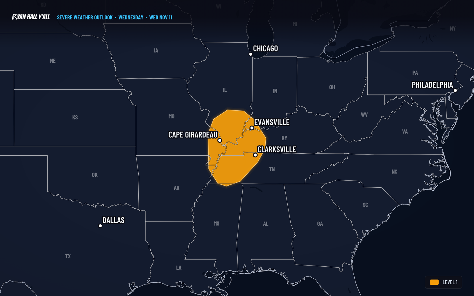
Level 1 storm risk Wednesday afternoon from Clarksville to Evansville
By Ryan Hall, Y'all Weather Desk · Published
Written by our automated news desk from National Weather Service data.
Key points
- Timing: Scattered storms should develop from late Wednesday afternoon into early evening as a cold front sweeps across the Mid-Mississippi Valley.
- The threat: Most storms will stay below severe limits. A few of the stronger ones could produce damaging wind gusts.
- Why it's limited: The air isn't carrying much moisture or storm fuel, with dewpoints only in the upper 50s. Very strong winds aloft could still help a few storms bring those gusts to the ground.
- What to do: Level 1 means keep an eye on the sky. Bring in or tie down loose patio items Wednesday morning, and have a way to get alerts if you're out in the evening. You can sign up for Y'all Alerts.
About 2.8 million people across Tennessee, Kentucky and Illinois have a Level 1 of 5 (Marginal Risk) for severe storms Wednesday afternoon and evening. The area runs from around Clarksville, TN, to Evansville, IN, Owensboro, KY, and Cape Girardeau, MO. The concern is isolated damaging wind gusts.
What to know
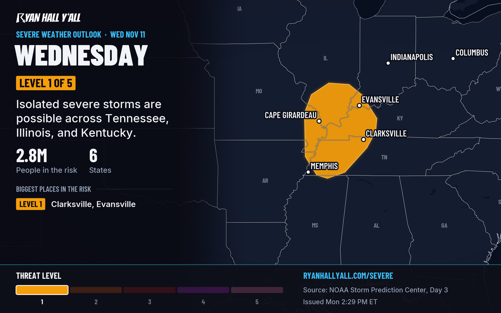
- Timing: Scattered storms should develop from late Wednesday afternoon into early evening as a cold front sweeps across the Mid-Mississippi Valley.
- The threat: Most storms will stay below severe limits. A few of the stronger ones could produce damaging wind gusts.
- Why it's limited: The air isn't carrying much moisture or storm fuel, with dewpoints only in the upper 50s. Very strong winds aloft could still help a few storms bring those gusts to the ground.
- What to do: Level 1 means keep an eye on the sky. Bring in or tie down loose patio items Wednesday morning, and have a way to get alerts if you're out in the evening. You can sign up for Y'all Alerts.
How sure are we? Only a few stronger storm cores may produce damaging gusts. See the latest on our severe storm outlook page.
Explained: What the severe storm risk levels mean, Level 1 to Level 5
More on Ohio Valley severe weather, November 2026
Places in this story: Clarksville, TN; Evansville, IN; Owensboro, KY
Sources
- SPC Day 3 Convective Outlook, NOAA Storm Prediction Center, issued
https://ryanhallyall.com/news/level-1-storm-risk-wednesday-afternoon-from-clarksville-to-evansville