Weather news
Low off New England Friday, Nov. 13 means mountain snow, then a dry weekend
By Ryan Hall, Y'all Weather Desk · Published
Written by our automated news desk from National Weather Service data.
Key points
- Friday, Nov. 13: A low off the New England coast keeps cold air pouring across the Northeast and Mid-Atlantic.
- Snow: Several inches are possible on the mountain summits of northern New York and northern New England, mostly at high elevations.
- Lake and mountain snow: Scattered lake-effect rain and snow showers hit the Upper Peninsula of Michigan, with upslope snow on the western slopes of the central Appalachians. Amounts stay minor.
- Friday night into the weekend: Precipitation ends quickly and high pressure settles in.
- Before then: Wednesday brings isolated storms from Indianapolis to Louisville to Nashville.
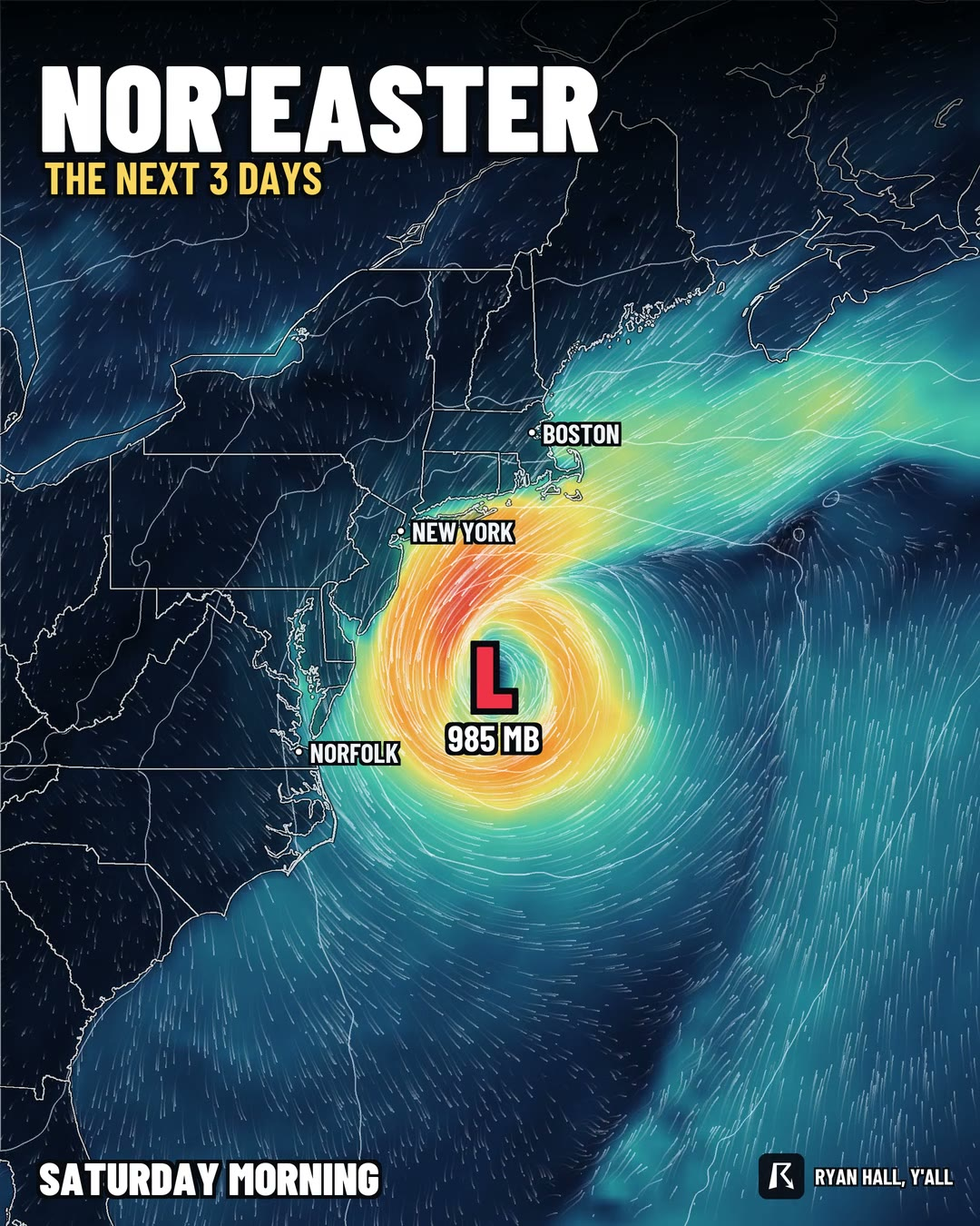
A storm system sits off the New England coast on Friday, Nov. 13, and it leaves several inches of snow on the highest summits of northern New York and northern New England. Cold air spills across the Northeast and Mid-Atlantic behind it, rain and snow wind down Friday night, and high pressure brings a drier weekend. We have high confidence in how this system leaves. We are not putting a coastal tide or storm-track forecast on it yet, for reasons below.
Friday: the low pulls away, and the snow stays up high
The cold air does the work on Friday. Wind out of the northwest drags it across the Northeast and Mid-Atlantic. Lingering precipitation falls mostly as snow in the higher terrain of northern New York and northern New England, where several inches can pile up on the summits. The accumulating snow threat is focused on the mountain summits.
Colder air aloft also moves over the lower Great Lakes. That sets off scattered lake-effect rain and snow showers, with minor accumulations on Michigan's Upper Peninsula. Along the western slopes of the central Appalachians, localized upslope snow is possible.
This part is the solid part of the forecast. The system exits on schedule, precipitation quickly winds down Friday night, and high pressure builds in for a drier weekend. Our winter storm outlook has a Marginal risk of winter weather impacts for the higher terrain of northern New York and Vermont on Thursday, Nov. 12, and again for the upper Great Lakes.
What we are not calling yet: coastal flooding
The loop our newsroom had queued for this story is from an older model run, so we left it out. It does not line up with this week, and we won't use its storm strength or its idea that the low turns back toward New Jersey. The current outlook points the other way, with the low leaving and dry weather building in over the weekend.
That means we have no tide forecast for the Outer Banks, New York City or Cape Cod to give you today. If a coastal flood warning goes up for your beach town, it will show on our live warnings page. The coastal flood advisories active right now include the California coast and the San Francisco Bay shoreline, where up to 1.6 feet of inundation above ground level is possible until 4 PM PST Friday.
Wednesday: a Level 1 storm risk from Indianapolis to Nashville
Before the Northeast cold shot, a cold front crosses the lower Ohio and western Tennessee valleys on Wednesday, Nov. 11. The Storm Prediction Center has a Level 1 of 5 (Marginal) risk covering Indianapolis, Louisville, Nashville and Clarksville. Storms should fire by early evening along the front.
The main threat is a few strong wind gusts, with a 5% chance of damaging wind in the risk area. A tornado or two is possible, but the chance is only 2%, and it depends on how much moisture and storm fuel actually show up. Fuel looks modest. Our severe storm outlook has the latest.
Today, Tuesday, a separate Level 1 risk covers the Texas coast, including Houston, mainly for quarter-size or larger hail in the stronger storms into tonight. No flash flood risk is outlined anywhere in the country through Thursday.
What to do
- Northeast hikers and skiers: Plan for snow and cold on the high summits of the Adirondacks and the northern New England mountains Friday.
- Ohio and Tennessee valleys: Know where you'd shelter Wednesday evening, and bring in loose outdoor items. This is a keep-an-eye-on-the-sky day, not a big one.
- Coastal Northeast: Check your local tide and warning information before weekend plans on the water. No Northeast coastal flood forecast is included here.
Bottom line
The low leaves New England on Friday, Nov. 13, taking the snow with it and leaving a drier weekend. We'll add coastal details only once we have a current model run to back them up.
Explained: Flood Advisory, Watch, Warning and Flash Flood Warning explained, Lake-effect snow: what it is, why it falls in bands, and what the alerts mean
More on Northeast winter weather, November 2026
Places in this story: New York City, NY
Sources
- GFS, 06Z run, NOAA National Centers for Environmental Prediction
- ECMWF, ECMWF