Winter weather
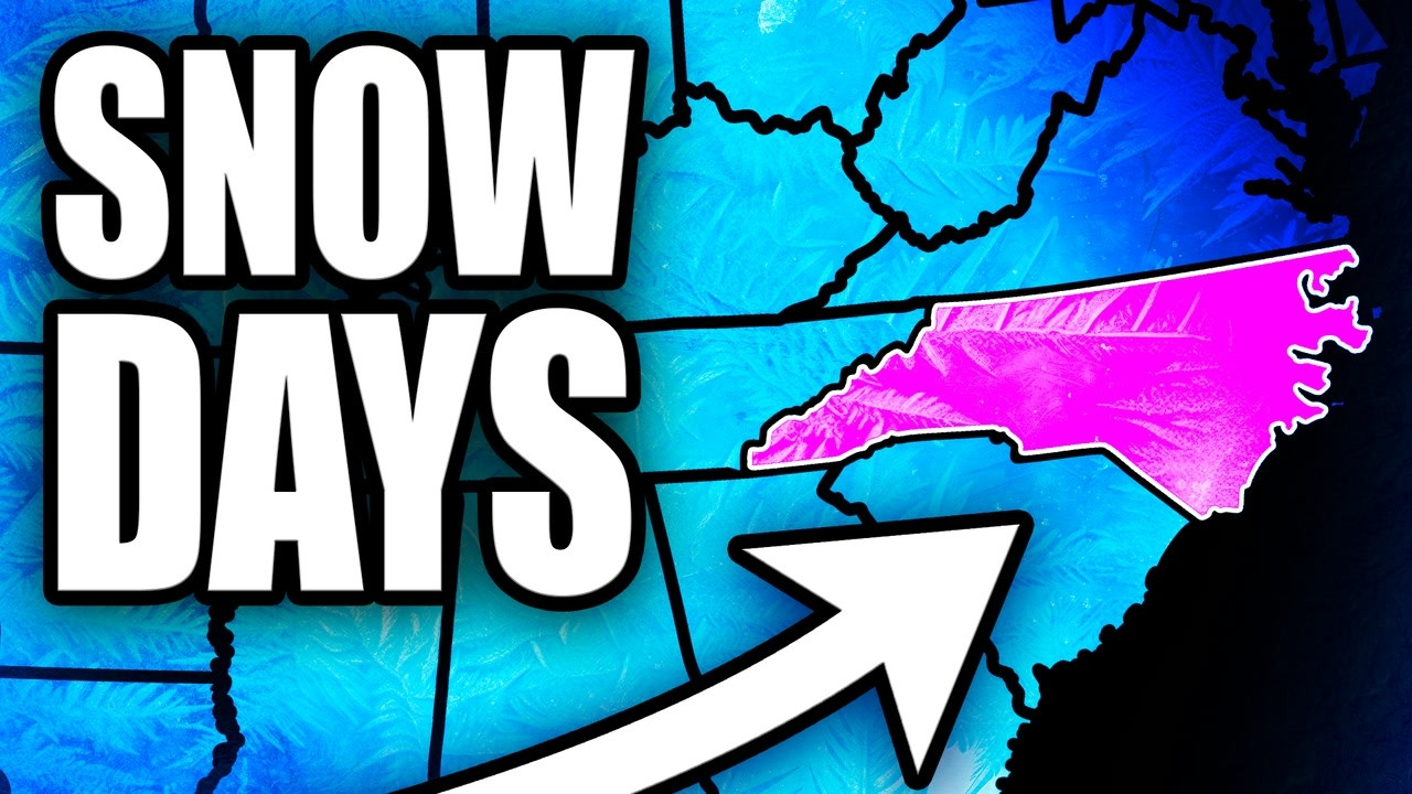
North Carolina favored for above-normal snow this winter, mountains to coast
By Ryan Hall, Y'all Weather Desk · Published
Written by our automated news desk from National Weather Service data.
Key points
- Where: All of North Carolina is at or above normal on his map. Most of the state is 20 percent more or better. New Bern, Elizabeth City and the Outer Banks sit in the top band at 30 percent more.
- When: This winter. This is a season call, not a forecast for one storm.
- What: The strongest El Nino on record by weekly readings is pushing the storm track south and turning storms up the East Coast at the Carolinas.
- What it means: Better odds of snow than usual, but not a promise. Plenty of past El Nino winters came up dry.
Ryan's winter call has most of North Carolina getting more snow than normal, from the mountains all the way to the coast. No state east of the Mississippi comes in higher on his snow map. The catch is that the coastal outcome could hinge on one storm and whether it brings snow, sleet or ice.
Why the map lights up over North Carolina
Photo: Ryan Hall, Y'all (Ryan Hall Xtra)
El Nino drags the jet stream, and the storms riding it, farther south. Many of those storms then turn up the East Coast right across the Carolinas. Wilmington and Elizabeth City were wetter than normal in all eight of the strongest El Nino winters. Every new seasonal model has North Carolina wetter this winter, with temperatures near normal and a little cooler by February.
That moisture would also be welcome. As of the Nov. 3 Drought Monitor, 71 percent of the state is in drought, up from about half two weeks earlier.
The mountains get the biggest totals
Normal snowfall runs about 11 inches a winter in Asheville and more than 3 feet in Boone. Ryan's call for the High Country, including Boone, Beech Mountain and Banner Elk, is 25 percent more than normal.
In the eight strongest El Nino winters, Asheville beat its normal snow six times, with 39 inches in 2009-10. Mount Mitchell's two snowiest winters on record were both strong El Ninos: 176 inches in 1997-98, almost 15 feet, and 168.5 inches in 2009-10.
The Piedmont and Asheville
Ryan's ranges this winter are Charlotte 3 to 6 inches, Raleigh 4 to 6, Greensboro 6 to 10 and Asheville 13 to 21. Charlotte and Raleigh beat normal five times in those eight El Nino winters.
Last winter showed how fast this can change. On Jan. 31, 2026, Charlotte got 11 inches in one day, its most since 2004. The week before, an ice storm left about half an inch of ice on everything from Hendersonville to Concord and out east. Davie County measured more than 3 inches of sleet.
The coast is a one-storm story
Normal snow on the coast is under 3 inches a winter, so a single storm decides the season. On Jan. 31, New Bern picked up 13 inches, the most it has ever recorded in one day. Parts of the southern coast measured up to a foot and a half. Wilmington woke up to 13 inches on the ground on Christmas morning 1989.
A coastal storm can just as easily bring cold rain, sleet or ice. That is why Ryan puts the coast in the top band but says it could come down to one system.
The catch
El Nino raises the odds without guaranteeing anything. In 2015-16, the last El Nino close to this one, Raleigh got 1.4 inches all winter. In 1991-92, Charlotte, Greensboro and Raleigh got none.
Don't count on a white Christmas in the cities. Raleigh and Greensboro haven't had one since 1966, and Charlotte never has on record. Beech Mountain has a white Christmas more years than not.
What to do
- Look up your town's range on our snow forecasts and at yallsnow.com, then compare it to what's normal where you live.
- Along the coast and in the Piedmont, get ice and sleet supplies together before the first threat. Road salt, a flashlight and a plan for a power outage matter more than shovels when a storm brings ice.
- Check back on our winter storm outlook as individual storms show up.
- Sign up for free Y'all Alerts so the storm that decides your season doesn't catch you off guard.
- Today, a frost advisory covers most of central North Carolina until 8 AM, with lows as low as the mid 30s. Cover tender plants if you haven't.
Bottom line
Ryan's call is more snow than normal for most of North Carolina, with the mountains in line for big totals and the coast riding on a single storm. The pattern favors it, but El Nino winters can still come up empty.
| City | Ryan's range this winter | Normal per winter |
|---|---|---|
| Charlotte | 3 to 6 | about 3 |
| Raleigh | 4 to 6 | 4 to 5 |
| Greensboro | 6 to 10 | 5 to 7 |
| Asheville | 13 to 21 | about 11 |
More on Southeast winter weather, November 2026
Places in this story: Asheville, NC; Charlotte, NC; Raleigh, NC; Boone, NC; New Bern, NC
Sources
- NOAA Regional Climate Centers ACIS station records, NOAA Regional Climate Centers (ACIS)