Weather news
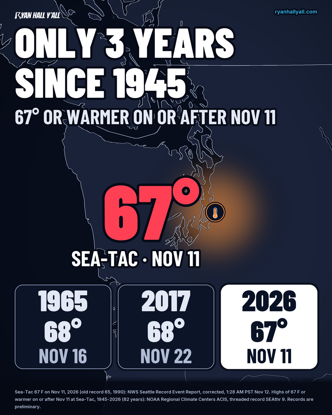
Sea-Tac Hits 67°F on Nov. 11, Only the Third Year Since 1945 This Late
By Ryan Hall, Y'all Weather Desk · Published · Updated
Written by our automated news desk from National Weather Service data.
What's new: Added our new graphic of Sea-Tac's warmest highs since Nov. 11; noted records are preliminary

Key points
- Records across western Washington: Bellingham hit 69 (old record 67, 1977) and Olympia hit 66 (old 64, 1990). A second Seattle station reached 67, topping 66 from 1905. These records are preliminary.
- Warmth beyond the Northwest: Santa Maria, CA reached 87 and San Juan, PR reached 93, both records. Vicksburg, MS (83), Poplar Bluff, MO (79) and Cape Girardeau, MO (77) tied records. Cold showed up too: St. Paul Island, Alaska, fell to 16, a record low.
- Rain is next in Washington: A moderate atmospheric river, a long plume of moisture off the Pacific, arrives Saturday, Nov. 14. The Olympic Peninsula could pick up another 1 to 3 inches, locally more, mostly in a 12-hour window. We have a Level 1 of 4 (Marginal) flash flood risk up there. The Skokomish River is already running high, so keep clear of river banks and don't drive through water over th
- How sure are we: The records are in official reports. The exact timing and totals of Saturday's rain could still shift a bit.
Seattle-Tacoma Airport hit 67°F on Wednesday, Nov. 11, breaking the date's old record of 65 from 1990. Since 1945, Sea-Tac has reached 67 or warmer on or after Nov. 11 in only three years: 1965, 2017 and now 2026.
What to know
- Records across western Washington: Bellingham hit 69 (old record 67, 1977) and Olympia hit 66 (old 64, 1990). A second Seattle station reached 67, topping 66 from 1905. These records are preliminary.
- Warmth beyond the Northwest: Santa Maria, CA reached 87 and San Juan, PR reached 93, both records. Vicksburg, MS (83), Poplar Bluff, MO (79) and Cape Girardeau, MO (77) tied records. Cold showed up too: St. Paul Island, Alaska, fell to 16, a record low.
- Rain is next in Washington: A moderate atmospheric river, a long plume of moisture off the Pacific, arrives Saturday, Nov. 14. The Olympic Peninsula could pick up another 1 to 3 inches, locally more, mostly in a 12-hour window. We have a Level 1 of 4 (Marginal) flash flood risk up there. The Skokomish River is already running high, so keep clear of river banks and don't drive through water over the road.
- How sure are we: The records are in official reports. The exact timing and totals of Saturday's rain could still shift a bit.
Warnings for your town are always on our live warnings page.
More on Weather records, November 2026
Places in this story: Santa Maria, CA; Vicksburg, MS; Poplar Bluff, MO; Cape Girardeau, MO; Seattle, WA; Bellingham, WA; Olympia, WA
Sources
- NWS Seattle Record Event Report (RERSEW, corrected), National Weather Service
- NOAA Regional Climate Centers ACIS, threaded record 'SEAthr 9' (Seattle Tacoma Area, data from 1945-01-01), daily maximum temperature, NOAA Regional Climate Centers (ACIS)
- NWS Los Angeles/Oxnard Record Event Report, National Weather Service
- NWS San Juan Record Event Reports, National Weather Service
- NWS Jackson MS and NWS Paducah Record Event Reports, National Weather Service
- NWS Anchorage Record Event Report, National Weather Service
https://ryanhallyall.com/news/sea-tac-hits-67f-on-nov-11-only-the-third-year-since-1945-this-late