Severe weather
Gusts past 60 mph, brief tornado possible near Corpus Christi this afternoon
By Ryan Hall, Y'all Weather Desk · Published · Updated
Written by our automated news desk from National Weather Service data.
Key points
- The setup: Storms are already going near the coast this morning. Warm, humid Gulf air and enough wind shear could let a storm or two start rotating. There is not much storm fuel, so most storms should stay below severe levels.
- What could happen: Isolated damaging gusts and a brief tornado. There is no outlined hail zone today.
- How sure we are: This is a stray-storm setup. Most storms should bring rain and thunder and nothing worse.
- What to do: Keep an eye on the sky. Tie down loose patio items and check radar before outdoor plans. If a warning goes out for your town, move to an interior room. Rain is also a concern, with a Level 2 of 4 flash flood risk over Texas today, so don't drive into water over the road. Check active warnings and the flash flood outlook.
Updated 8:00 AM ET Sunday: South Texas now leads; Washington coast threat has passed.
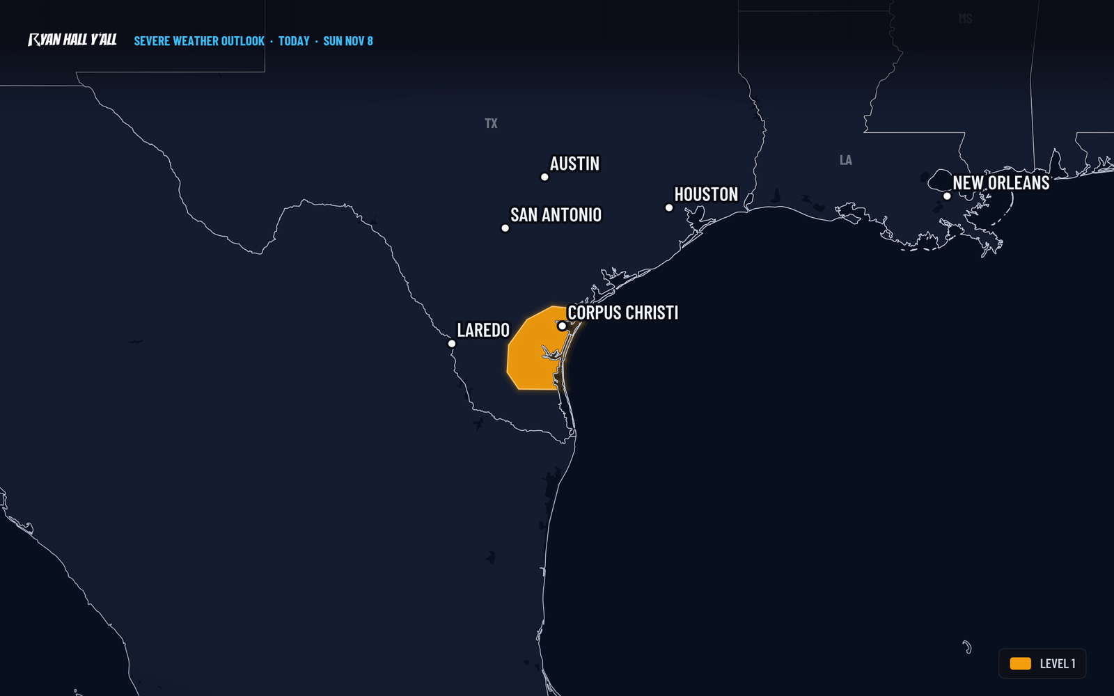
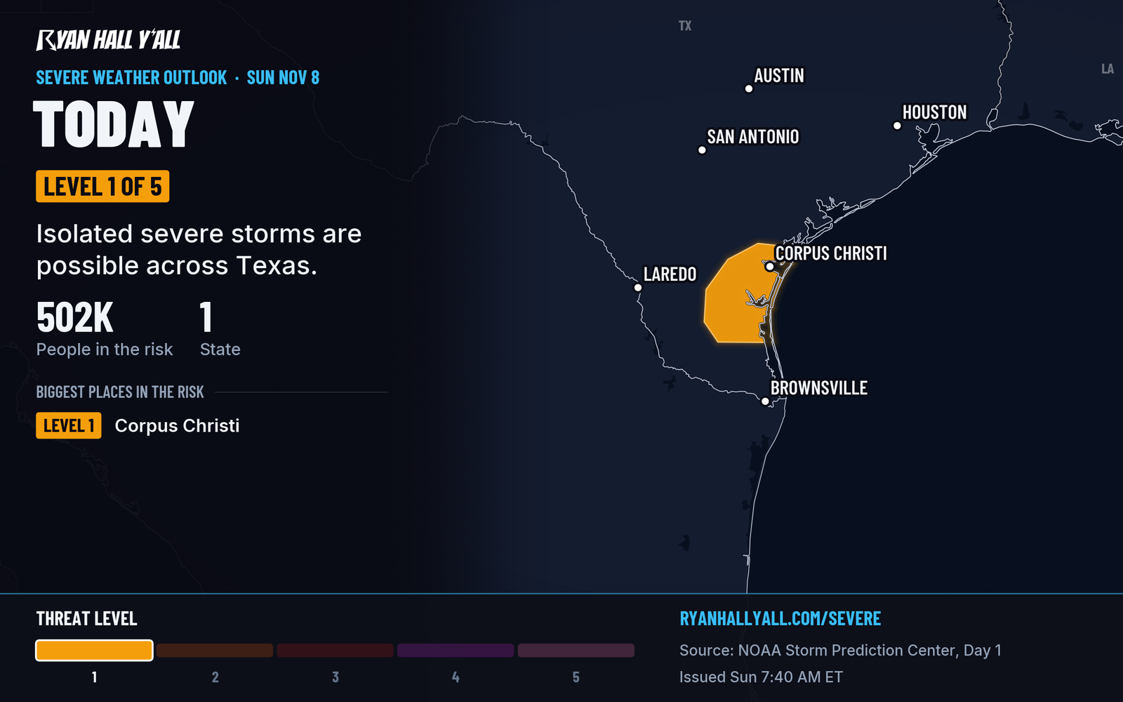
A few storms in South Texas could produce gusts past 60 mph or a brief tornado this afternoon, mainly around Corpus Christi, Alice, and Falfurrias. It is a Level 1 of 5 (Marginal Risk) day covering about 500,000 people, including Kingsville, and it is the only severe risk on the national map today. Storms should push back offshore later today.
What to know
- The setup: Storms are already going near the coast this morning. Warm, humid Gulf air and enough wind shear could let a storm or two start rotating. There is not much storm fuel, so most storms should stay below severe levels.
- What could happen: Isolated damaging gusts and a brief tornado. There is no outlined hail zone today.
- How sure we are: This is a stray-storm setup. Most storms should bring rain and thunder and nothing worse.
- What to do: Keep an eye on the sky. Tie down loose patio items and check radar before outdoor plans. If a warning goes out for your town, move to an interior room. Rain is also a concern, with a Level 2 of 4 flash flood risk over Texas today, so don't drive into water over the road. Check active warnings and the flash flood outlook.
No severe storms are expected Monday.
Follow the timing and any changes on our live severe outlook.
Explained: What the severe storm risk levels mean, Level 1 to Level 5
More on South Texas severe weather, November 2026
Places in this story: Corpus Christi, TX
Sources
- SPC Day 1 Convective Outlook, NOAA Storm Prediction Center
https://ryanhallyall.com/news/gusts-over-60-mph-possible-near-forks-wa-late-tonight