Weather news
El Niño's October broke its own record, and Earth had its warmest October
By Ryan Hall, Y'all Weather Desk · Published · Updated
Written by our automated news desk from National Weather Service data.
What's new: Record now confirmed by three datasets, global October record added, South Texas flood timing refreshed
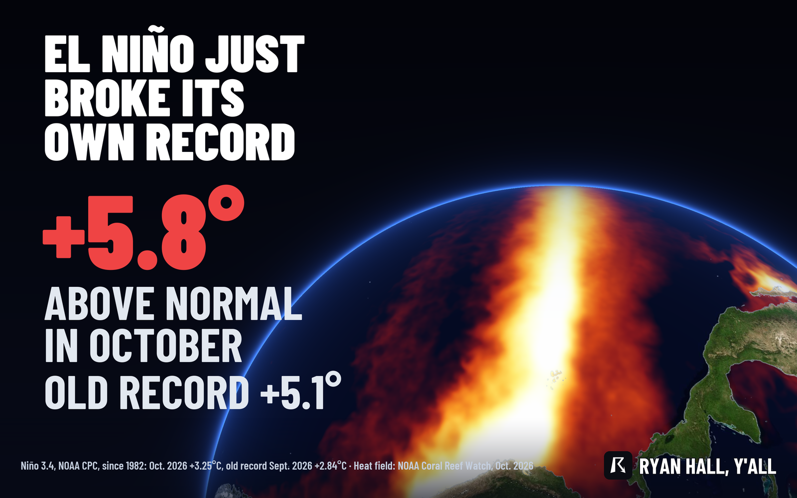
October's reading in the Niño 3.4 region of the central Pacific came in at 3.25 C above normal, the warmest month on record there and well past September's record. Three separate datasets agree, and Copernicus has October 2026 as the warmest October on record worldwide. A record month doesn't forecast your town's weather, and South Texas has a flood risk today.
Key points
- Where: The Niño 3.4 region, a stretch of the central equatorial Pacific that scientists use to track El Niño.
- When: October 2026, with the warmest weekly readings in the last two weeks of the month.
- What: The region ran 3.25 C (about 5.8 F) above normal, the highest month in records going back to January 1982. Worldwide, October was the warmest October on record.
- What it means: This El Niño is still setting records. A record month doesn't tell you what your winter will look like.
Updated 11:15 AM ET Sunday.
The central Pacific water that defines El Niño just had its warmest month ever measured. October's reading in the Niño 3.4 region beat the record this same El Niño set in September, and Copernicus has October 2026 as the warmest October on record for the whole planet. Three separate datasets now agree on the Pacific record.
Three datasets confirm the October record
The monthly average water temperature in Niño 3.4 was 30.01 C, about 86 F. That is 3.25 C above the 1991 to 2020 normal, from NOAA's Climate Prediction Center. September's record was +2.84 C (29.60 C), so October cleared it by a wide margin. Before this year, the top month was November 2015 at +2.72 C.
The other two sources land in the same place:
- NOAA Coral Reef Watch daily data, averaged over the same box for October 1 to 31, gives +3.26 C.
- Copernicus, using its own ERA5 dataset, has Niño 3.4 at +3.21 C, the highest on record and ahead of September's +2.99 C. It also calls 29.94 C an all-time high for the region.
The datasets differ by a few hundredths of a degree. All three show a record.
The weekly numbers tell the same story. The weeks of October 21 and October 28 each ran +3.4 C (about 6.1 F) above normal, at 30.2 C. Those are the warmest weeks in a file that starts in 1981. The old record week was +3.1 C in late September. Before this year, it was +3.0 C in November 2015.
Off the coast of Peru, in the region called Niño 1+2, October ran +5.25 C above normal (roughly 9.5 F). The week of October 28 hit +5.4 C. Both are records there too.
The whole planet had its warmest October too
Copernicus has October 2026 averaging 15.35 C worldwide. That is 0.90 C above the 1991 to 2020 normal and 1.75 C (about 3.15 F) above the 1850 to 1900 period. The old October record was 2023, at +0.85 C.
These are two separate records measured two different ways. One is ocean temperature in a single patch of the Pacific. The other is global air temperature. We're not saying one caused the other, and the numbers we have don't make that case.
What it does and doesn't tell you
The Niño 3.4 reading tells you how big the Pacific signal is. It isn't a forecast for your town. Your weather in the next week comes from the storms that actually form and where they go. Here is what that looks like right now:
- South Texas today: Flash flooding is rated Level 2 of 4 (Slight Risk) south of I-10, with the highest threat from Laredo toward Corpus Christi. Expect 2 to 4 inches this afternoon and evening Central time. Totals of 3 to 6 inches are likely over the full event, with isolated spots up to 8. Rain can fall at 1 to 2 inches an hour. Rain redevelops tonight into early Monday. Monday brings another half inch to 1 inch, and a few spots could see more. That day is Level 1 of 4.
- Severe storms: Level 1 of 5 (Marginal) near Corpus Christi, with isolated damaging gusts and a small chance of a brief tornado.
- Late week in the Northeast: A coastal storm could bring accumulating snow to the higher terrain of Pennsylvania, upstate New York and northern New England on Friday. The best shot at moderate totals is in the Adirondacks and the Green and White Mountains. Confidence is moderate, and the rain-snow line isn't settled.
What to do
If you're in South Texas, don't drive into water over the road this evening or overnight, especially around Corpus Christi, Kingsville and Laredo. Check the flash flood outlook before evening plans, watch active warnings as they go up, and sign up for Y'all Alerts for a warning on your phone. In the interior Northeast, keep an eye on our winter storm outlook as Friday gets closer.
Bottom line
El Niño broke its own record in October, and the planet had its warmest October on record. That's a big marker for the Pacific, but it won't tell you what next week brings. Your local forecast will.
| Value | Note | |
|---|---|---|
| October 2026 | 3.25 C above normal | 30.01 C |
| September 2026 | 2.84 C above normal | 29.60 C |
| November 2015 | 2.72 C above normal | Previous record before 2026 |
More on Weather records, October 2026
Sources
- NOAA CPC Niño 3.4 sea surface temperature index, NOAA Climate Prediction Center
- NOAA Coral Reef Watch CoralTemp, NOAA
- Copernicus/ECMWF ERA5, Copernicus Climate Change Service (ECMWF)