Video
Ohio Winter Outlook: Warmer, With Most Areas Getting 20% Less Snow Than Normal
By Ryan Hall, Y'all Weather Desk · Published
Written by our automated news desk from Ryan's video.
Ryan says northern Ohio has the best odds of a warm winter anywhere in the lower 48, with about 2 degrees of extra warmth from December through February. He expects Columbus' first snow after Thanksgiving, less snow than normal statewide, with most areas around 20% below normal, and no white Christmas to bet on.
Watch on YouTube: Ohio's Winter Flips Warm
Key points
- Ryan points out that the seasonal models he looks at have Ohio running about 2° warmer than normal in December, January and February. That sounds small, but he notes that "when you spend half of the winter sitting right around freezing, a couple of degrees is the difference between snow or cold rain."
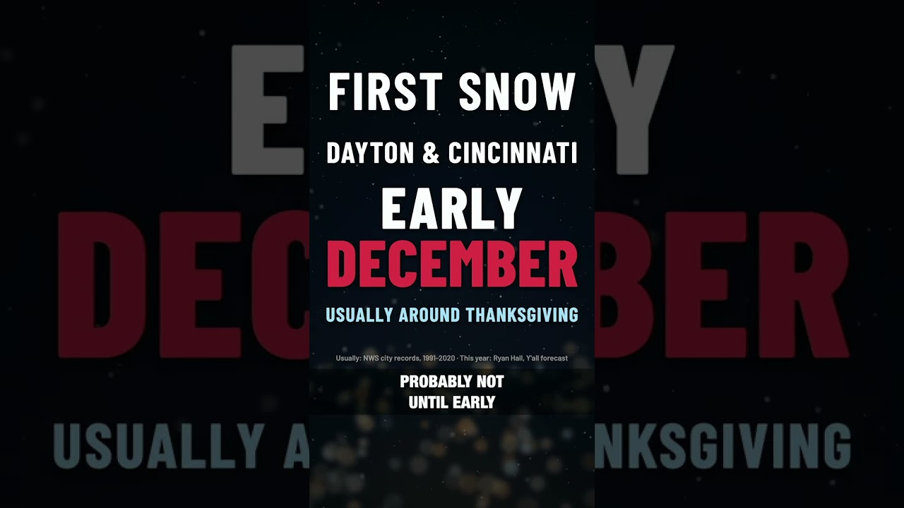
- Ryan expects Columbus to see its first snow after Thanksgiving, with Dayton and Cincinnati probably waiting until early December. The last time there was a monster El Nino like this, in 2015, neither Columbus nor Cincinnati got measurable snow until January 10th.
- Ryan says every town in the state ends up with less snow than normal, most about 20% below. For Columbus, which normally gets around 28 inches, he's thinking 20 to 24 inches.
- On a white Christmas, Ryan says Cleveland, Columbus, Dayton and Cincinnati didn't have one in any of the eight strongest El Nino winters on record. "Not one." That doesn't mean it can't happen this year, but he wouldn't bet on it.
Ryan says Ohio is headed for a warmer, less snowy winter than usual, and he's leaning on a strong El Nino to make the call. Northern Ohio, from Toledo to Cleveland to Youngstown, sits in the warmest odds on the whole map. No spot in the lower 48 has better odds of a warm winter.
What Ryan said
- Ryan points out that the seasonal models he looks at have Ohio running about 2° warmer than normal in December, January and February. That sounds small, but he notes that "when you spend half of the winter sitting right around freezing, a couple of degrees is the difference between snow or cold rain."
- Ryan expects Columbus to see its first snow after Thanksgiving, with Dayton and Cincinnati probably waiting until early December. The last time there was a monster El Nino like this, in 2015, neither Columbus nor Cincinnati got measurable snow until January 10th.
- Ryan says every town in the state ends up with less snow than normal, most about 20% below. For Columbus, which normally gets around 28 inches, he's thinking 20 to 24 inches.
- On a white Christmas, Ryan says Cleveland, Columbus, Dayton and Cincinnati didn't have one in any of the eight strongest El Nino winters on record. "Not one." That doesn't mean it can't happen this year, but he wouldn't bet on it.
What's coming this week
Winter hasn't settled in yet. Our winter storm outlook shows colder air crossing the lower Great Lakes from Thursday night into the weekend, with scattered lake-effect rain and snow showers. Wet accumulating snow is expected across higher elevations of West Virginia and western Pennsylvania, then into the higher terrain of upstate New York and northern New England. Light to locally moderate accumulations are most likely above 2,000 feet. Confidence is moderate on the overall setup, and the exact storm track is still uncertain. Check our snow forecasts as the week goes on.
Watch the Short above for Ryan's full rundown.
First snow tracker: every big city's date
More on First snow 2026-27
Places in this story: Toledo, OH; Cleveland, OH; Dayton, OH; Cincinnati, OH
Sources
- Ryan Hall, Y'all video: Ohio's Winter Flips Warm, Ryan Hall, Y'all, issued